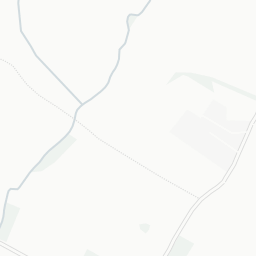
About GL56 0LQ
GL56 0LQ scores 72/100 on the NestScope Score, with its strongest showing in safety and local amenities — with no crimes reported on the surrounding streets last month. The breakdown below draws on official UK data covering schools, safety, healthcare, transport, environment and local amenities.
In national context, GL56 0LQ is an above-average neighbourhood — IMD decile 6/10, ranked 17,850 of 32,844 neighbourhoods in England. The Index of Multiple Deprivation is the UK government's official measure of relative deprivation, refreshed roughly every five years. Housing pressure here is low (IMD housing decile 8/10).
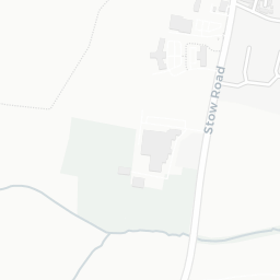
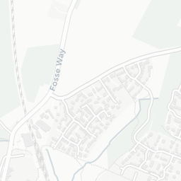
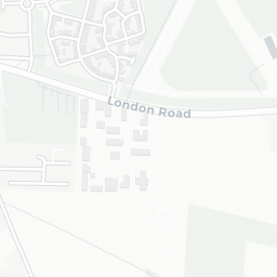
There is 1 school within the typical catchment area, including 1 rated Good. The nearest school is St David's Church of England Primary School (Ofsted: Good), about 2 minutes' walk away.
No crimes were reported on the surrounding streets in the most recent month, consistent with a very low local crime profile.
Healthcare access is good, with 3 GP surgeries, 1 hospital and 1 dental practice in the wider neighbourhood. The nearest GP practice is MANN COTTAGE SURGERY, about 7 minutes' walk away. The nearest hospital is NORTH COTSWOLD HOSPITAL, about 8 minutes' walk away. A pharmacy is within a short walk.
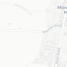
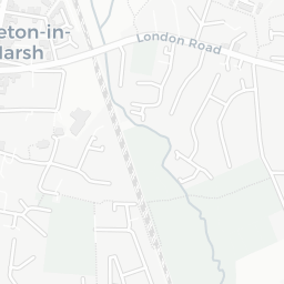
The nearest rail stations are Moreton-in-Marsh Rail Station (Train, about 5 minutes' walk away). There are also 25 bus stops within walking distance.
The location sits in Flood Zone 2 (medium risk — between a 1 in 100 and 1 in 1,000 annual chance), which may affect insurance and mortgage availability. rail noise is low (about 40 dB Lden).
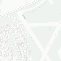
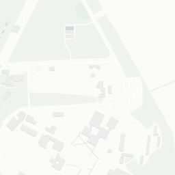
There are 15 green spaces within walking distance, totalling 27.6 hectares of parks and outdoor space. The nearest is St David's Church, within a short walk. The postcode sits within a AONB, giving it open countryside on the doorstep that isn't recorded as a formal park.
There are 4 supermarkets in the wider area, including Midcounties Co-operative, Tesco, Asda, Aldi. The nearest is Co-op Moreton in Marsh, about 2 minutes' walk away. A public library is about 3 minutes' walk away.
Sources: DfE/Ofsted, UK Police API, NHS ODS, NaPTAN, Environment Agency, Ordnance Survey, Natural England, DEFRA, Geolytix and Arts Council England. For an interactive map view, explore GL56 0LQ on NestScope.