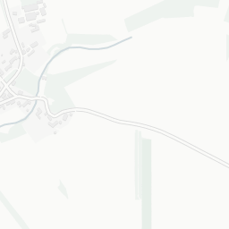
About GL54 4HR
GL54 4HR scores 73/100 on the NestScope Score, with its strongest showing in safety and schools — with no crimes reported on the surrounding streets last month. The breakdown below draws on official UK data covering schools, safety, healthcare, transport, environment and local amenities.
In national context, GL54 4HR is an above-average neighbourhood — IMD decile 6/10, ranked 19,344 of 32,844 neighbourhoods in England. The Index of Multiple Deprivation is the UK government's official measure of relative deprivation, refreshed roughly every five years. Housing pressure here is high (IMD housing decile 1/10).
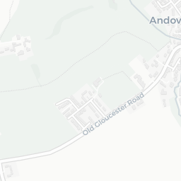
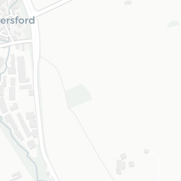
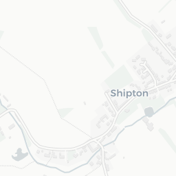
There is 1 school within the typical catchment area, including 1 rated Good. The nearest school is Andoversford Primary School (Ofsted: Good), about 2 minutes' walk away.
No crimes were reported on the surrounding streets in the most recent month, consistent with a very low local crime profile.
There are no GP surgeries, hospitals or pharmacies within easy reach of GL54 4HR. Residents may need to travel further for healthcare access.
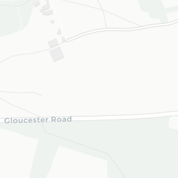
There are no train or Tube stations near GL54 4HR. Bus services provide the main public transport, with 7 bus stops in the immediate area.
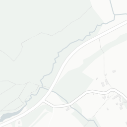
The location is in Flood Zone 1 (low risk — less than a 1 in 1,000 annual chance of river or sea flooding).
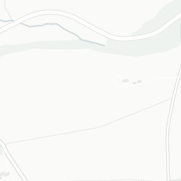
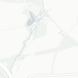
There are 2 green spaces within walking distance, totalling 2 hectares of parks and outdoor space. The nearest is Playing Field (1.9 ha), about 3 minutes' walk away. The postcode sits within a AONB, giving it open countryside on the doorstep that isn't recorded as a formal park.
There are no supermarkets in the immediate area around GL54 4HR. Grocery shopping may require a car or delivery service.
Sources: DfE/Ofsted, UK Police API, NHS ODS, NaPTAN, Environment Agency, Ordnance Survey, Natural England, DEFRA, Geolytix and Arts Council England. For an interactive map view, explore GL54 4HR on NestScope.