Area Report
Last updated 25 JUL 2026Neighbourhood Report
NestScope is deepest in England. Ofsted school ratings, flood risk and the IMD-anchored NestScope Score aren't published for Scotland, so this report shows only the layers official Scotland sources cover.
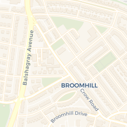
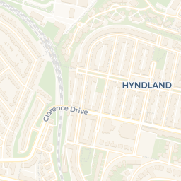
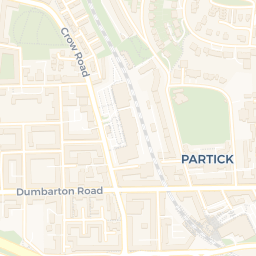
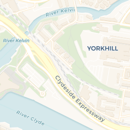
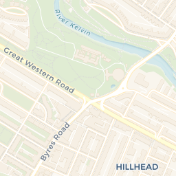
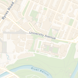
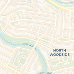
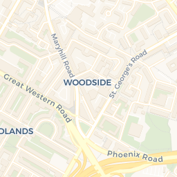
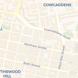
A neighbourhood of Glasgow City: a school 0.2 miles away and Hillhead SPT Subway Station 0.3 miles off.
What's nearby — across walking, short-drive and school catchment distance. Data from official UK government sources.
01 — Snapshot
Around G12 8QQ.
The large figure is how many we found nearby; the chip beside each label is that category’s NestScope score out of 100 — higher beats more of the UK.
Are the schools any good?
19schools nearby
- 19 schools nearby
- Ofsted/KS4 ratings not available in Scotland
Hillhead Primary SchoolPrimary0.2 mi
Hillhead High SchoolSecondary0.2 mi
Glasgow Gaelic SchoolSecondary0.6 mi
Dunard Primary School & Nursery ClassPrimary0.8 mi
Anderston Primary SchoolPrimary0.8 mi
Bun-sgoil Ghaidhlig a Challtainn - Calton Gaelic SchoolPrimary0.8 mi
Nearest: Hillhead Primary School — 0.2 mi
Is it safe?
—
- Not collected in Scotland (England-centric data)
Crimes reported last month · UK Police API
Can I see a GP?
44GP & hospitals
- 36 GP, 8 hospitals within 1.5 mi
Nearest GP: Dr A Khan — 0.2 mi
Can I get to work?
Hillhead SPT Subway Station0.3 mi
Kelvinbridge SPT Subway Station0.4 mi
Kelvinhall SPT Subway Station0.5 mi
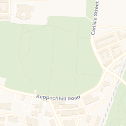
How green is it?
31green spaces
- 37.2 ha total
- no proper park nearby
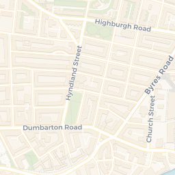
Nearest: Wellington Church — 0.1 mi
Can I get the shopping done?
77shops & libraries
- 77 supermarkets within 2 mi
- Iceland, Sainsburys, Tesco, Spar…
- nearest 0.3 mi
Nearest: Iceland Hillhead — 0.3 mi
02 — Environment
Environment & risk near G12 8QQ.
Official risk flags for context — deliberately not part of the NestScope score (they’re categorical hazards, not amenities). Flood zones, air quality & noise explained.
03 — House prices
Sold prices in G12.
Average sold price by property type across the G12 district, 2021–2026.
About G12 8QQ
G12 8QQ scores 90/100 on the NestScope Score, with its strongest showing in schools and transport — with Hillhead Primary School 0.2 mi away. The breakdown below draws on official UK data covering schools, safety, healthcare, transport, environment and local amenities.
G12 8QQ sits outside England, so the national deprivation backbone (IMD) that anchors the NestScope Score isn't available — the figures below are based on local amenities only.
There are 19 schools within the typical catchment area. The nearest school is Hillhead Primary School, 0.2 mi away.
No crimes were reported on the surrounding streets in the most recent month, consistent with a very low local crime profile.
Healthcare access is good, with 36 GP surgeries and 8 hospitals in the wider neighbourhood. The nearest GP practice is Dr A Khan, 0.2 mi away. The nearest hospital is Glasgow Dental Hospital and School, 1.0 mi away.