NestScope
EX4 3HF · Neighbourhood Report
© OpenStreetMap · © CARTO
Area Report
Last updated 18 JUN 2026

EX4 3HF

Neighbourhood Report

What's nearby — across walking, short-drive and school catchment distance. Data from official UK government sources.

NestScope Score
56/ 100

A mixed, mid-ranking neighbourhood

Anchored on official IMD data — decile 3/10, ranked 9,203 of 32,844 neighbourhoods in England.

How this score is calculated
01 — Snapshot

Around EX4 3HF.

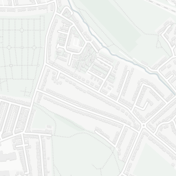
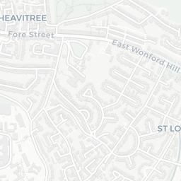
The large figure is how many we found nearby; the chip beside each label is that category’s NestScope score out of 100 — higher beats more of the UK.

Schools76/100
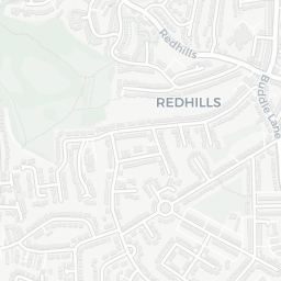
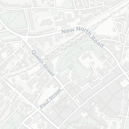
5Good/Outstanding within 1 mi

15 rated Good or better within 2 mi · 38 schools in total

Nearest top-rated: St Thomas Primary School (Good) — 0.6 mi

Safety30/100
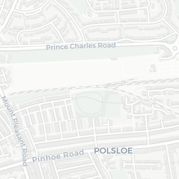
142crimes last month

IMD crime decile 1/10 · 142 crimes in 400m last month (residential-weighted: 85.1)

Crimes reported last month · UK Police API

Healthcare78/100
26GP & hospitals

IMD health decile 4/10 · 22 GP, 4 hospitals, 22 dentists, pharmacy 0.1 mi within 1.5 mi

Nearest GP: HMP EXETER — 0.3 mi
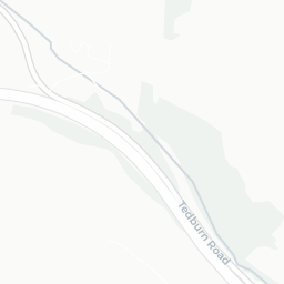
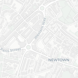
Transport81/100
Exeter Central Rail Station0.2 mi
Exeter St Thomas Rail Station0.5 mi
Exeter St Davids Rail Station0.5 mi

42 bus stops also within 0.5 miles
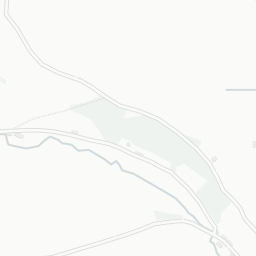
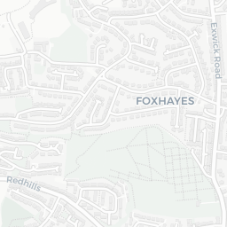
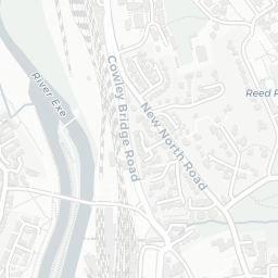
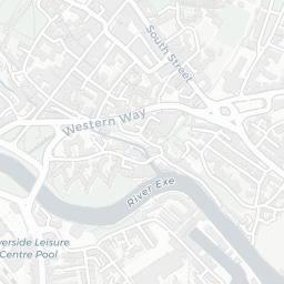
Green space68/100
16green spaces

IMD environment decile 2/10 · 34.3 ha total — largest park 13.4 ha (0.28 mi away)

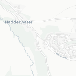
Nearest: St Bartholomew's Cemetery — 0.1 mi
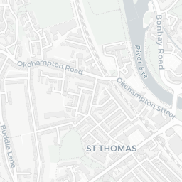
Amenities95/100
36supermarkets

36 supermarkets within 2 mi — Sainsburys, The Co-operative Group, Marks and Spencer, Morrisons… — nearest 0.1 mi — library 0.3 mi

Nearest: Sainsburys Exeter — 0.1 mi

02 — Environment

Environment & risk near EX4 3HF.

Official risk flags for context — deliberately not part of the NestScope score (they’re categorical hazards, not amenities).

Flood risk
Zone 1 (low)

Flood Zone 1 — low risk (less than 1 in 1,000 annual chance) · Source: Environment Agency Flood Map for Planning

Zone 1
Zone 2
Zone 3
Air qualityWithin WHO guideline
6.5µg/m³

NO₂ annual mean · WHO guideline 10 · UK limit 40 · Source: DEFRA UK-AIR 2024

<10
10–20
20–30
30–40
≥40
Road noiseQuiet
48dB Lden

Road traffic, day-evening-night average · Source: DEFRA strategic noise mapping

<55
55–64
65–74
≥75
03 — House prices

Sold prices in EX4.

Average sold price by property type across the EX4 district, 202120264,043 sales.

£0£200k£400k£600k202120222023202420252026
  • Detached
  • Semi-detached
  • Terraced
  • Flat
Detached£497k 3.5%
Semi-detached£383k 25.5%
Terraced£311k 14.5%
Flat£164k 8.5%

District-level averages (EX4) — broad enough to show a reliable trend. A single postcode usually sees too few sales to chart. Source: HM Land Registry Price Paid Data (Crown Copyright / OGL v3.0).

About EX4 3HF

EX4 3HF scores 56/100 on the NestScope Score, with its strongest showing in local amenities and transport — with Sainsburys Exeter about 3 minutes' walk away. The main trade-off is its safety score. The breakdown below draws on official UK data covering schools, safety, healthcare, transport, environment and local amenities.

Explore area insights about nearby locations

Data: DfE/Ofsted · UK Police API · NHS ODS · NaPTAN · Ordnance Survey · Geolytix. Crown Copyright / OGL. Look up any postcode: nestscope.uk/area/YOUR+POSTCODE — e.g. SW1A 1AA, M1 1AE, BS1 1HT.