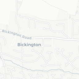
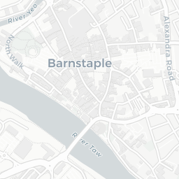
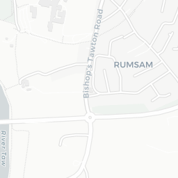
NestScope
EX31 2HH · Neighbourhood Report
© OpenStreetMap · © CARTO
Area Report
Last updated 13 JUN 2026

EX31 2HH

Neighbourhood Report

What's nearby — across walking, short-drive and school catchment distance. Data from official UK government sources.

NestScope Score
64/ 100

A mixed, mid-ranking neighbourhood

Anchored on official IMD data — decile 4/10, ranked 12,681 of 32,844 neighbourhoods in England.

How this score is calculated
01 — Snapshot

Around EX31 2HH.

The large figure is how many we found nearby; the chip beside each label is that category’s NestScope score out of 100 — higher beats more of the UK.

Schools53/100
2Good/Outstanding within 1 mi

10 rated Good or better within 2 mi · 16 schools in total

Nearest top-rated: Sticklepath Community Primary Academy (Good) — 0.1 mi

Safety88/100

IMD crime decile 9/10 · live count unavailable

Data temporarily unavailable

Healthcare72/100
3GP & hospitals

IMD health decile 4/10 · 3 GP, 12 dentists, pharmacy 0.5 mi within 1.5 mi

Nearest GP: TOGETHER - NORTH DEVON — 0.9 mi

Transport59/100

No rail stations within 0.5 miles · 21 bus stops nearby

Green space75/100
7green spaces

IMD environment decile 8/10 · beside open access land (2.1 ha total — largest park 0.8 ha (0.24 mi away))

Nearest: Playground (900 m²) — 0.2 mi

Amenities92/100
22supermarkets

22 supermarkets within 2 mi — Morrisons, Sainsburys, Lidl, Aldi… — nearest 0.2 mi — library 1.0 mi

Nearest: Morrisons Daily Barnstaple 2-3 Oakland Park — 0.2 mi

02 — Environment

Environment & risk near EX31 2HH.

Official risk flags for context — deliberately not part of the NestScope score (they’re categorical hazards, not amenities).

Flood risk
Zone 1 (low)

Flood Zone 1 — low risk (less than 1 in 1,000 annual chance) · Source: Environment Agency Flood Map for Planning

Zone 1
Zone 2
Zone 3
Air qualityWithin WHO guideline
5µg/m³

NO₂ annual mean · WHO guideline 10 · UK limit 40 · Source: DEFRA UK-AIR 2024

<10
10–20
20–30
30–40
≥40

About EX31 2HH

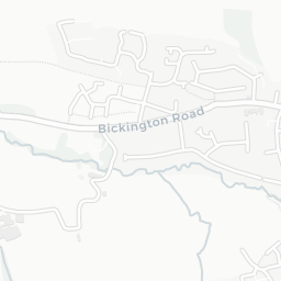
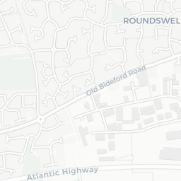
EX31 2HH scores 64/100 on the NestScope Score, with its strongest showing in local amenities and safety — with Morrisons Daily Barnstaple 2-3 Oakland Park about 4 minutes' walk away. The breakdown below draws on official UK data covering schools, safety, healthcare, transport, environment and local amenities.

In national context, EX31 2HH is a mixed, mid-ranking neighbourhood — IMD decile 4/10, ranked 12,681 of 32,844 neighbourhoods in England. The Index of Multiple Deprivation is the UK government's official measure of relative deprivation, refreshed roughly every five years. Housing pressure here is moderate (IMD housing decile 7/10).

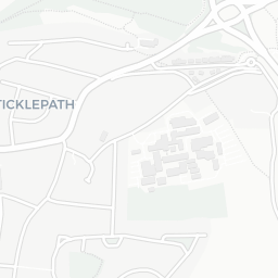
There are 16 schools within the typical catchment area, including 10 rated Good. The nearest school is Sticklepath Community Primary Academy (Ofsted: Good), within a short walk.

Healthcare access is good, with 3 GP surgeries and 12 dental practices in the wider neighbourhood. The nearest GP practice is TOGETHER - NORTH DEVON, 0.9 mi away. A pharmacy is about 9 minutes' walk away.

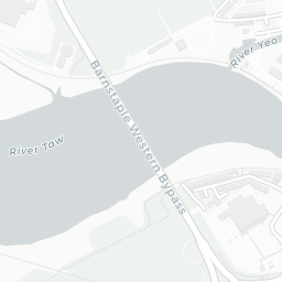
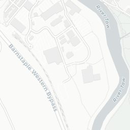
There are no train or Tube stations near EX31 2HH. Bus services provide the main public transport, with 21 bus stops in the immediate area.

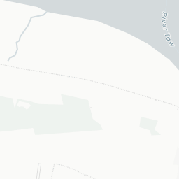
The location is in Flood Zone 1 (low risk — less than a 1 in 1,000 annual chance of river or sea flooding).

There are 7 green spaces within walking distance, totalling 2.1 hectares of parks and outdoor space. The nearest is Playground (900 m²), about 5 minutes' walk away. It also lies just beside a open access land (about 4 minutes' walk away), adding open countryside that isn't recorded as a formal park.

There are 22 supermarkets in the wider area, including Morrisons, Sainsburys, Lidl, Aldi and others. The nearest is Morrisons Daily Barnstaple 2-3 Oakland Park, about 4 minutes' walk away. A public library is 1.0 mi away.

Sources: DfE/Ofsted, UK Police API, NHS ODS, NaPTAN, Environment Agency, Ordnance Survey, Natural England, DEFRA, Geolytix and Arts Council England. For an interactive map view, explore EX31 2HH on NestScope.

Explore area insights about nearby locations

Data: DfE/Ofsted · UK Police API · NHS ODS · NaPTAN · Ordnance Survey · Geolytix. Crown Copyright / OGL. Look up any postcode: nestscope.uk/area/YOUR+POSTCODE — e.g. SW1A 1AA, M1 1AE, BS1 1HT.

NestScope

All data from publicly available UK government sources. Each dimension uses a category-appropriate radius (walking distance for crime and transport, school catchment, drive distance for healthcare). IMD context is the latest published English Indices of Deprivation (2019). This report is for informational purposes only.