Area Report
Last updated 29 JUL 2026Neighbourhood Report
NestScope is deepest in England. Ofsted school ratings, flood risk and the IMD-anchored NestScope Score aren't published for Scotland, so this report shows only the layers official Scotland sources cover.
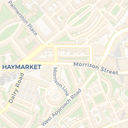
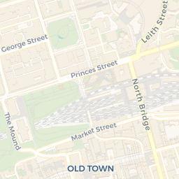
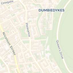
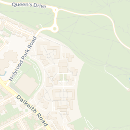
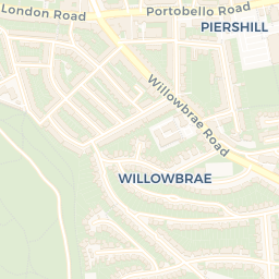
A neighbourhood of City of Edinburgh: a school 1.0 miles away.
What's nearby — across walking, short-drive and school catchment distance. Data from official UK government sources.
01 — Snapshot
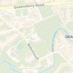
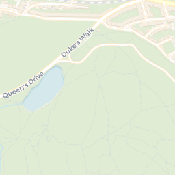
Around EH8 9AT.
The large figure is how many we found nearby; the chip beside each label is that category’s NestScope score out of 100 — higher beats more of the UK.
Are the schools any good?
13schools nearby
- 13 schools nearby
- Ofsted/KS4 ratings not available in Scotland
Abbeyhill Primary SchoolPrimary1.0 mi
Bruntsfield Primary SchoolPrimary1.1 mi
Drummond Community High SchoolSecondary1.1 mi
Boroughmuir High SchoolSecondary1.2 mi
Canaan Lane Primary SchoolPrimary1.4 mi
Broughton Primary SchoolPrimary1.5 mi
Nearest: Abbeyhill Primary School — 1.0 mi
Is it safe?
—
- Not collected in Scotland (England-centric data)
Crimes reported last month · UK Police API
Can I see a GP?
25GP & hospitals
- 20 GP, 5 hospitals within 1.5 mi
Nearest GP: Mackenzie Medical Centre — 0.1 mi
Can I get to work?
No rail stations within 0.5 miles · 62 bus stops nearby
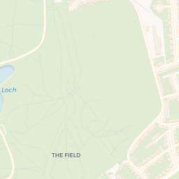
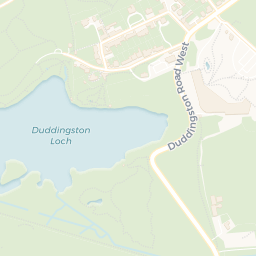
How green is it?
23green spaces
- 32.8 ha total
- no proper park nearby
Nearest: Religious Grounds (0.24 ha) — 0.0 mi
Can I get the shopping done?
76shops & libraries
- 76 supermarkets within 2 mi
- Tesco, Lidl, Sainsburys, The Co-operative Group…
- nearest 0.1 mi
Nearest: Tesco Edinburgh Nicholson Street Express — 0.1 mi
02 — Environment
Environment & risk near EH8 9AT.
Official risk flags for context — deliberately not part of the NestScope score (they’re categorical hazards, not amenities). Flood zones, air quality & noise explained.
03 — House prices
Sold prices in EH8.
Average sold price by property type across the EH8 district, 2021–2026.
About EH8 9AT
EH8 9AT scores 79/100 on the NestScope Score, with its strongest showing in transport and healthcare — with 62 bus stops within walking distance. The breakdown below draws on official UK data covering schools, safety, healthcare, transport, environment and local amenities.
EH8 9AT sits outside England, so the national deprivation backbone (IMD) that anchors the NestScope Score isn't available — the figures below are based on local amenities only.
There are 13 schools within the typical catchment area. The nearest school is Abbeyhill Primary School, 1.0 mi away.
No crimes were reported on the surrounding streets in the most recent month, consistent with a very low local crime profile.
Healthcare access is good, with 20 GP surgeries and 5 hospitals in the wider neighbourhood. The nearest GP practice is Mackenzie Medical Centre, within a short walk. The nearest hospital is Ballenden House, 0.1 mi away.