Area Report
Last updated 24 JUN 2026Neighbourhood Report
What's nearby — across walking, short-drive and school catchment distance. Data from official UK government sources.
01 — Snapshot
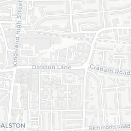
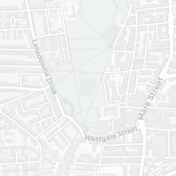
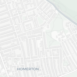
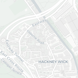
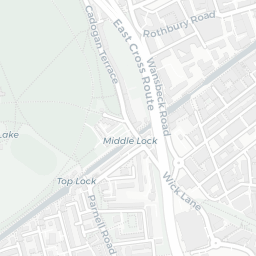
Around E9 6JH.
The large figure is how many we found nearby; the chip beside each label is that category’s NestScope score out of 100 — higher beats more of the UK.
24Good/Outstanding within 1 mi
102 rated Good or better within 2 mi · 137 schools in total
Nearest top-rated: Cardinal Pole Catholic School (Good) — 0.1 mi
—
IMD crime decile 2/10 · live count unavailable
Data temporarily unavailable
45GP & hospitals
IMD health decile 4/10 · 44 GP, 1 hospital, 33 dentists, pharmacy 0.2 mi within 1.5 mi
Nearest GP: GP OUT OF HOURS BASE SERVICE OOH — 0.1 mi
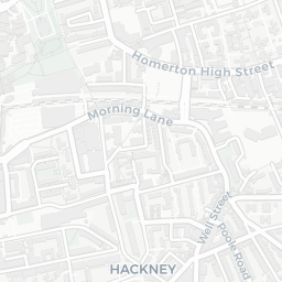
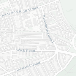
Homerton Rail Station0.2 mi
Hackney Central Rail Station0.4 mi
59 bus stops also within 0.5 miles
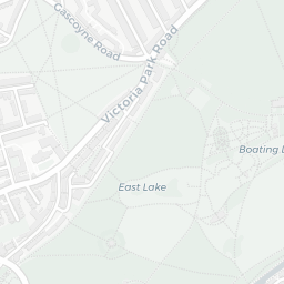
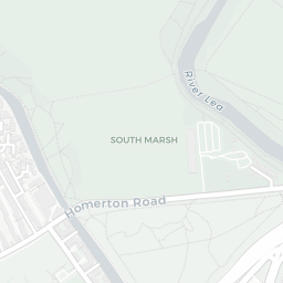
42green spaces
IMD environment decile 2/10 · 17.2 ha total — no proper park nearby
Nearest: Playground (600 m²) — 0.1 mi
78supermarkets
78 supermarkets within 2 mi — The Co-operative Group, Morrisons, Tesco, Spar… — nearest 0.0 mi — library 0.3 mi
Nearest: Co-op Hackney - Homerton High Street — 0.0 mi
02 — Environment
Environment & risk near E9 6JH.
Official risk flags for context — deliberately not part of the NestScope score (they’re categorical hazards, not amenities).
Flood risk
Zone 1 (low)
Flood Zone 1 — low risk (less than 1 in 1,000 annual chance) · Source: Environment Agency Flood Map for Planning
Air qualityModerate
22.4µg/m³
NO₂ annual mean · WHO guideline 10 · UK limit 40 · Source: DEFRA UK-AIR 2024
03 — House prices
Sold prices in E9.
Average sold price by property type across the E9 district, 2021–2026 — 1,826 sales.
About E9 6JH
E9 6JH scores 47/100 on the NestScope Score, with its strongest showing in local amenities and healthcare — with Co-op Hackney - Homerton High Street within a short walk. The main trade-off is its safety score. The breakdown below draws on official UK data covering schools, safety, healthcare, transport, environment and local amenities.
In national context, E9 6JH is a more affordable, lower-income neighbourhood — IMD decile 1/10, ranked 2,897 of 32,844 neighbourhoods in England. The Index of Multiple Deprivation is the UK government's official measure of relative deprivation, refreshed roughly every five years. Housing pressure here is high (IMD housing decile 1/10).
There are 137 schools within the typical catchment area, including 40 rated Outstanding by Ofsted and 62 rated Good. The nearest school is Cardinal Pole Catholic School (Ofsted: Good), within a short walk.
Healthcare access is good, with 44 GP surgeries, 1 hospital and 33 dental practices in the wider neighbourhood. The nearest GP practice is GP OUT OF HOURS BASE SERVICE OOH, about 3 minutes' walk away. The nearest hospital is HOMERTON HOSPITAL, about 5 minutes' walk away. A pharmacy is about 4 minutes' walk away.
The nearest rail stations are Homerton Rail Station (Train, about 3 minutes' walk away), Hackney Central Rail Station (Train, about 9 minutes' walk away). There are also 59 bus stops within walking distance.