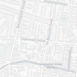
About E8 4RU
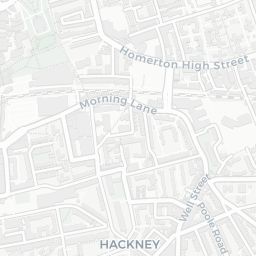
E8 4RU scores 59/100 on the NestScope Score, with its strongest showing in local amenities and transport — with Iceland Hackney about 3 minutes' walk away. The main trade-off is its safety score. The breakdown below draws on official UK data covering schools, safety, healthcare, transport, environment and local amenities.
In national context, E8 4RU is a mixed, mid-ranking neighbourhood — IMD decile 3/10, ranked 9,828 of 32,844 neighbourhoods in England. The Index of Multiple Deprivation is the UK government's official measure of relative deprivation, refreshed roughly every five years. Housing pressure here is high (IMD housing decile 1/10).
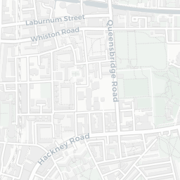
There are 177 schools within the typical catchment area, including 43 rated Outstanding by Ofsted and 88 rated Good. The nearest school is London Fields Primary School, about 3 minutes' walk away.
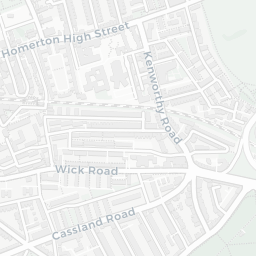
There were 134 crimes reported on the surrounding streets in the most recent month, indicating a high level of immediate-area crime.
Healthcare access is good, with 76 GP surgeries, 5 hospitals and 47 dental practices in the wider neighbourhood. The nearest GP practice is TURNING POINT - H&CRS (CITY OF LONDON), within a short walk. The nearest hospital is HOMERTON HOSPITAL, 1.0 mi away. A pharmacy is about 3 minutes' walk away.
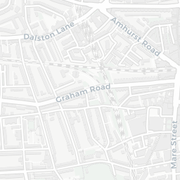
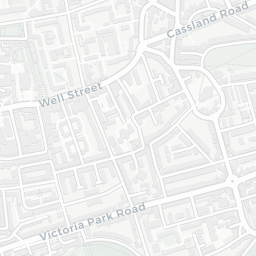
The nearest rail stations are London Fields Rail Station (Train, about 5 minutes' walk away), Cambridge Heath (London) Rail Station (Train, about 8 minutes' walk away). There are also 41 bus stops within walking distance.
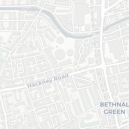
The location is in Flood Zone 1 (low risk — less than a 1 in 1,000 annual chance of river or sea flooding). road traffic noise is very high (about 78 dB Lden).
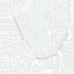
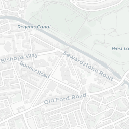
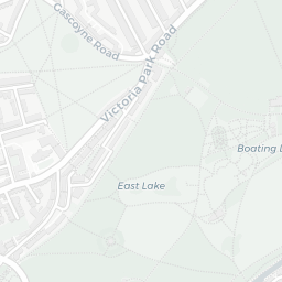
There are 35 green spaces within walking distance, totalling 16.6 hectares of parks and outdoor space. The nearest is Playground (0.72 ha), about 3 minutes' walk away.
There are 115 supermarkets in the wider area, including Iceland, Sainsburys, Planet Organic, Lidl and others. The nearest is Iceland Hackney, about 3 minutes' walk away. A public library is about 9 minutes' walk away.
Sources: DfE/Ofsted, UK Police API, NHS ODS, NaPTAN, Environment Agency, Ordnance Survey, Natural England, DEFRA, Geolytix and Arts Council England. For an interactive map view, explore E8 4RU on NestScope.