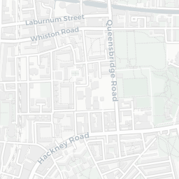
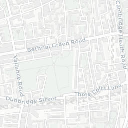
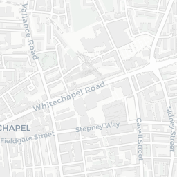
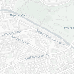
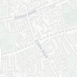
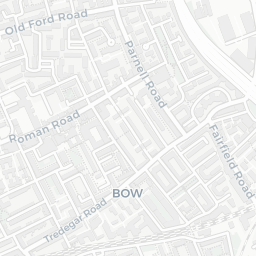
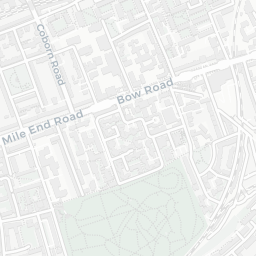
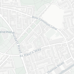
NestScope
E2 6AN · Neighbourhood Report
© OpenStreetMap · © CARTO
Area Report
Last updated 18 JUN 2026

E2 6AN

Neighbourhood Report

What's nearby — across walking, short-drive and school catchment distance. Data from official UK government sources.

NestScope Score
60/ 100

A mixed, mid-ranking neighbourhood

Anchored on official IMD data — decile 4/10, ranked 11,032 of 32,844 neighbourhoods in England.

How this score is calculated
01 — Snapshot

Around E2 6AN.

The large figure is how many we found nearby; the chip beside each label is that category’s NestScope score out of 100 — higher beats more of the UK.

Schools70/100
39Good/Outstanding within 1 mi

119 rated Good or better within 2 mi · 167 schools in total

Nearest top-rated: Elizabeth Selby Infants' School (Good) — 0.1 mi

Safety45/100
126crimes last month

IMD crime decile 4/10 · 126 crimes in 400m last month (residential-weighted: 75.8)

Crimes reported last month · UK Police API

Healthcare81/100
79GP & hospitals

IMD health decile 5/10 · 73 GP, 6 hospitals, 69 dentists, pharmacy 0.1 mi within 1.5 mi

Nearest GP: BETHNAL GREEN HEALTH CTR. — 0.1 mi

Transport84/100
Bethnal Green Rail Station0.3 mi
Cambridge Heath (London) Rail Station0.5 mi
Shoreditch High Street Rail Station0.5 mi
Bethnal Green Underground Station0.4 mi
Bethnal Green Underground Station0.5 mi

28 bus stops also within 0.5 miles

Green space64/100
57green spaces

IMD environment decile 2/10 · 29.2 ha total — largest park 8.4 ha (0.40 mi away)

Nearest: Playground (400 m²) — 0.0 mi

Amenities90/100
158supermarkets

158 supermarkets within 2 mi — Tesco, Iceland, Sainsburys, Asda… — nearest 0.1 mi — library 0.5 mi

Nearest: Tesco Bethnal Green Express — 0.1 mi

02 — Environment

Environment & risk near E2 6AN.

Official risk flags for context — deliberately not part of the NestScope score (they’re categorical hazards, not amenities).

Flood risk
Zone 1 (low)

Flood Zone 1 — low risk (less than 1 in 1,000 annual chance) · Source: Environment Agency Flood Map for Planning

Zone 1
Zone 2
Zone 3
Air qualityModerate
25.6µg/m³

NO₂ annual mean · WHO guideline 10 · UK limit 40 · Source: DEFRA UK-AIR 2024

<10
10–20
20–30
30–40
≥40
Road noiseModerate
56dB Lden

Road traffic, day-evening-night average · Source: DEFRA strategic noise mapping

<55
55–64
65–74
≥75
Rail noiseQuiet
44dB Lden

Railways, day-evening-night average · Source: DEFRA strategic noise mapping

<55
55–64
65–74
≥75
03 — House prices

Sold prices in E2.

Average sold price by property type across the E2 district, 202120262,254 sales.

£0£500k£1M£1.5M£2M202120222023202420252026
  • Detached
  • Semi-detached
  • Terraced
  • Flat
Detached
Semi-detached£868k
Terraced£951k 5.0%
Flat£472k 13.2%

District-level averages (E2) — broad enough to show a reliable trend. A single postcode usually sees too few sales to chart. Source: HM Land Registry Price Paid Data (Crown Copyright / OGL v3.0).

About E2 6AN

E2 6AN scores 60/100 on the NestScope Score, with its strongest showing in local amenities and transport — with Tesco Bethnal Green Express within a short walk. The breakdown below draws on official UK data covering schools, safety, healthcare, transport, environment and local amenities.

Explore area insights about nearby locations

Data: DfE/Ofsted · UK Police API · NHS ODS · NaPTAN · Ordnance Survey · Geolytix. Crown Copyright / OGL. Look up any postcode: nestscope.uk/area/YOUR+POSTCODE — e.g. SW1A 1AA, M1 1AE, BS1 1HT.