NestScope
E15 2JG · Neighbourhood Report
© OpenStreetMap · © CARTO
Area Report
Last updated 16 JUN 2026

E15 2JG

Neighbourhood Report

What's nearby — across walking, short-drive and school catchment distance. Data from official UK government sources.

NestScope Score
56/ 100

A mixed, mid-ranking neighbourhood

Anchored on official IMD data — decile 3/10, ranked 9,402 of 32,844 neighbourhoods in England.

How this score is calculated
01 — Snapshot

Around E15 2JG.

The large figure is how many we found nearby; the chip beside each label is that category’s NestScope score out of 100 — higher beats more of the UK.

Schools77/100
18Good/Outstanding within 1 mi

94 rated Good or better within 2 mi · 128 schools in total

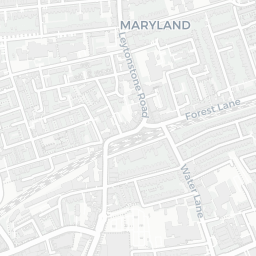
Nearest top-rated: John F Kennedy Special School (Outstanding) — 0.3 mi

Safety30/100
54crimes last month

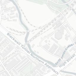
IMD crime decile 1/10 · 54 crimes in 400m last month (residential-weighted: 35.4)

Crimes reported last month · UK Police API

Healthcare81/100
50GP & hospitals

IMD health decile 7/10 · 50 GP, 18 dentists, pharmacy 0.1 mi within 1.5 mi

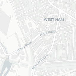
Nearest GP: CARPENTERS PRACTICE — 0.3 mi
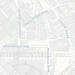
Transport91/100
Stratford (London) Rail Station0.3 mi
Stratford High Street DLR Station0.1 mi
Stratford Underground Station0.3 mi

29 bus stops also within 0.5 miles
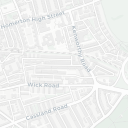
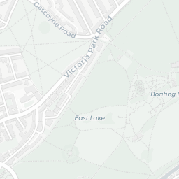
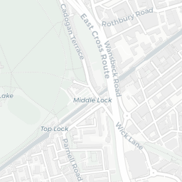
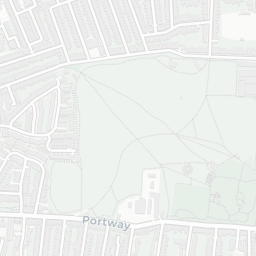
Green space57/100
25green spaces

IMD environment decile 2/10 · 12.7 ha total — no proper park nearby

Nearest: Playground (300 m²) — 0.1 mi

Amenities92/100
65supermarkets

65 supermarkets within 2 mi — Tesco, Iceland, Lidl, Sainsburys… — nearest 0.2 mi — library 0.5 mi

Nearest: Tesco Stratford High St Express — 0.2 mi

02 — Environment

Environment & risk near E15 2JG.

Official risk flags for context — deliberately not part of the NestScope score (they’re categorical hazards, not amenities).

Flood risk
Zone 3 (high)

Flood Zone 3 — high risk (1 in 100 annual chance) · Source: Environment Agency Flood Map for Planning

Zone 1
Zone 2
Zone 3
Air qualityModerate
20.8µg/m³

NO₂ annual mean · WHO guideline 10 · UK limit 40 · Source: DEFRA UK-AIR 2024

<10
10–20
20–30
30–40
≥40
Road noiseLoud
73dB Lden

Road traffic, day-evening-night average · Source: DEFRA strategic noise mapping

<55
55–64
65–74
≥75
Rail noiseQuiet
48dB Lden

Railways, day-evening-night average · Source: DEFRA strategic noise mapping

<55
55–64
65–74
≥75
03 — House prices

Sold prices in E15.

Average sold price by property type across the E15 district, 202120262,466 sales.

£0£200k£400k£600k£800k202120222023202420252026
  • Detached
  • Semi-detached
  • Terraced
  • Flat
Detached£610k
Semi-detached£542k 10.1%
Terraced£560k 12.5%
Flat£376k 10.0%

District-level averages (E15) — broad enough to show a reliable trend. A single postcode usually sees too few sales to chart. Source: HM Land Registry Price Paid Data (Crown Copyright / OGL v3.0).

About E15 2JG

E15 2JG scores 56/100 on the NestScope Score, with its strongest showing in local amenities and transport — with Tesco Stratford High St Express about 3 minutes' walk away. The main trade-off is its safety score. The breakdown below draws on official UK data covering schools, safety, healthcare, transport, environment and local amenities.

Explore area insights about nearby locations

Data: DfE/Ofsted · UK Police API · NHS ODS · NaPTAN · Ordnance Survey · Geolytix. Crown Copyright / OGL. Look up any postcode: nestscope.uk/area/YOUR+POSTCODE — e.g. SW1A 1AA, M1 1AE, BS1 1HT.