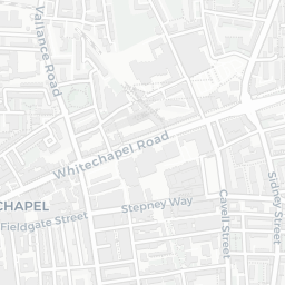
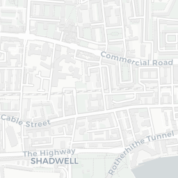
About E1 2LL
E1 2LL scores 52/100 on the NestScope Score, with its strongest showing in local amenities and healthcare — with Tesco Commercial Rd Express about 4 minutes' walk away. The main trade-off is its safety score. The breakdown below draws on official UK data covering schools, safety, healthcare, transport, environment and local amenities.
In national context, E1 2LL is a more affordable, lower-income neighbourhood — IMD decile 2/10, ranked 6,345 of 32,844 neighbourhoods in England. The Index of Multiple Deprivation is the UK government's official measure of relative deprivation, refreshed roughly every five years. Housing pressure here is high (IMD housing decile 2/10).
There are 173 schools within the typical catchment area, including 37 rated Outstanding by Ofsted and 83 rated Good. The nearest school is Buttercup Primary School, within a short walk.
There were 121 crimes reported on the surrounding streets in the most recent month, indicating a high level of immediate-area crime.
Healthcare access is good, with 65 GP surgeries, 7 hospitals and 68 dental practices in the wider neighbourhood. The nearest GP practice is GOODMAN'S FIELD HEALTH CENTRE, about 5 minutes' walk away. The nearest hospital is ROYAL LONDON HOSPITAL, about 6 minutes' walk away. A pharmacy is within a short walk.
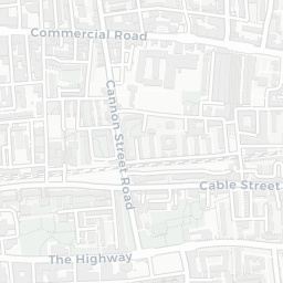
The nearest rail stations are Shadwell Rail Station (Train, about 6 minutes' walk away), Whitechapel Rail Station (Train, about 9 minutes' walk away), Shadwell DLR Station (Tube/Metro, about 6 minutes' walk away), Shadwell DLR Station (Tube/Metro, about 6 minutes' walk away), Aldgate East Underground Station (Tube/Metro, about 8 minutes' walk away). There are also 43 bus stops within walking distance.
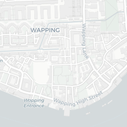
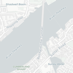
The location is in Flood Zone 1 (low risk — less than a 1 in 1,000 annual chance of river or sea flooding).
There are 46 green spaces within walking distance, totalling 10.4 hectares of parks and outdoor space. The nearest is Playground (400 m²), within a short walk.
There are 155 supermarkets in the wider area, including Tesco, The Co-operative Group, Iceland, Sainsburys and others. The nearest is Tesco Commercial Rd Express, about 4 minutes' walk away. A public library is about 5 minutes' walk away.
Sources: DfE/Ofsted, UK Police API, NHS ODS, NaPTAN, Environment Agency, Ordnance Survey, Natural England, DEFRA, Geolytix and Arts Council England. For an interactive map view, explore E1 2LL on NestScope.