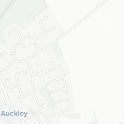


About DN9 3JN
DN9 3JN scores 84/100 on the NestScope Score, with its strongest showing in safety and schools. The breakdown below draws on official UK data covering schools, safety, healthcare, transport, environment and local amenities.
In national context, DN9 3JN is one of the most affluent neighbourhoods in England — IMD decile 10/10, ranked 30,325 of 32,844 neighbourhoods in England. The Index of Multiple Deprivation is the UK government's official measure of relative deprivation, refreshed roughly every five years. Housing pressure here is low (IMD housing decile 10/10).
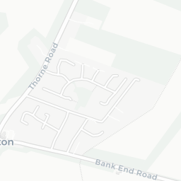
There are 9 schools within the typical catchment area, including 6 rated Good. The nearest school is Auckley Primary Academy (Ofsted: Good), within a short walk.
Day-to-day healthcare provision nearby is limited. A pharmacy is about 3 minutes' walk away.
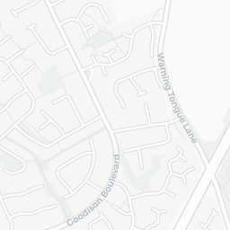
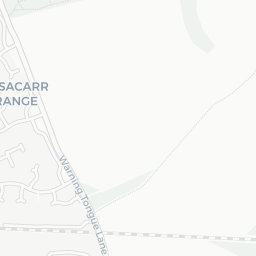
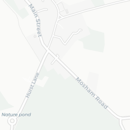
There are no train or Tube stations near DN9 3JN. Bus services provide the main public transport, with 8 bus stops in the immediate area.
The location is in Flood Zone 1 (low risk — less than a 1 in 1,000 annual chance of river or sea flooding).
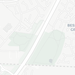
There are 8 green spaces within walking distance, totalling 8.1 hectares of parks and outdoor space. The nearest is Playing Field (0.83 ha), within a short walk.
There are 2 supermarkets in the wider area, including Spar, The Co-operative Group. The nearest is Spar - Auckley, within a short walk.
Sources: DfE/Ofsted, UK Police API, NHS ODS, NaPTAN, Environment Agency, Ordnance Survey, Natural England, DEFRA, Geolytix and Arts Council England. For an interactive map view, explore DN9 3JN on NestScope.