NestScope
DN5 0AA · Neighbourhood Report
© OpenStreetMap · © CARTO
Area Report
Last updated 13 JUN 2026

DN5 0AA

Neighbourhood Report

What's nearby — across walking, short-drive and school catchment distance. Data from official UK government sources.

NestScope Score
61/ 100

An above-average neighbourhood

Anchored on official IMD data — decile 5/10, ranked 13,361 of 32,844 neighbourhoods in England.

How this score is calculated
01 — Snapshot

Around DN5 0AA.

The large figure is how many we found nearby; the chip beside each label is that category’s NestScope score out of 100 — higher beats more of the UK.

Safety40/100
25crimes last month

IMD crime decile 2/10 · 25 crimes in 400m last month (residential-weighted: 17)

Crimes reported last month · UK Police API

Healthcare77/100
10GP & hospitals

IMD health decile 4/10 · 9 GP, 1 hospital, 5 dentists, pharmacy 0.1 mi within 1.5 mi

Nearest GP: DON VALLEY HEALTHCARE — 0.2 mi

Transport77/100
Bentley (S Yorks) Rail Station0.2 mi

29 bus stops also within 0.5 miles

Green space78/100
8green spaces

IMD environment decile 8/10 · 21.2 ha total — largest park 8.3 ha (0.48 mi away)

Nearest: St Peter's Church — 0.1 mi

Amenities94/100
21supermarkets

21 supermarkets within 2 mi — Heron, Tesco, Morrisons, Lidl… — nearest 0.0 mi — library 0.3 mi

Nearest: Heron Bentley — 0.0 mi

02 — Environment

Environment & risk near DN5 0AA.

Official risk flags for context — deliberately not part of the NestScope score (they’re categorical hazards, not amenities).

Flood risk
Zone 1 (low)

Flood Zone 1 — low risk (less than 1 in 1,000 annual chance) · Source: Environment Agency Flood Map for Planning

Zone 1
Zone 2
Zone 3
Air qualityLow
10.2µg/m³

NO₂ annual mean · WHO guideline 10 · UK limit 40 · Source: DEFRA UK-AIR 2024

<10
10–20
20–30
30–40
≥40
Road noiseLoud
68dB Lden

Road traffic, day-evening-night average · Source: DEFRA strategic noise mapping

<55
55–64
65–74
≥75

About DN5 0AA

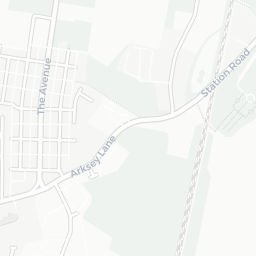
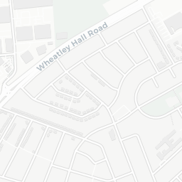
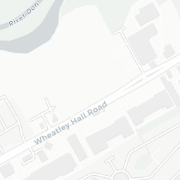
DN5 0AA scores 61/100 on the NestScope Score, with its strongest showing in local amenities and green space — with Heron Bentley within a short walk. The main trade-off is its safety score. The breakdown below draws on official UK data covering schools, safety, healthcare, transport, environment and local amenities.

In national context, DN5 0AA is an above-average neighbourhood — IMD decile 5/10, ranked 13,361 of 32,844 neighbourhoods in England. The Index of Multiple Deprivation is the UK government's official measure of relative deprivation, refreshed roughly every five years. Housing pressure here is low (IMD housing decile 9/10).

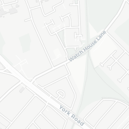
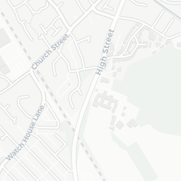
There are 26 schools within the typical catchment area, including 16 rated Good. The nearest school is Bentley High Street Primary School, about 3 minutes' walk away.

There were 25 crimes reported on the surrounding streets in the most recent month, indicating a moderate level of immediate-area crime.

Healthcare access is good, with 9 GP surgeries, 1 hospital and 5 dental practices in the wider neighbourhood. The nearest GP practice is DON VALLEY HEALTHCARE, about 4 minutes' walk away. The nearest hospital is CHESWOLD PARK HOSPITAL, 1.3 mi away. A pharmacy is about 2 minutes' walk away.

The nearest rail stations are Bentley (S Yorks) Rail Station (Train, about 4 minutes' walk away). There are also 29 bus stops within walking distance.

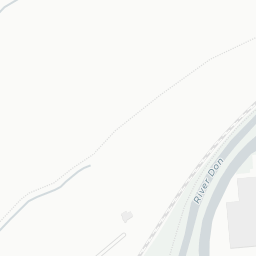
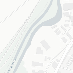
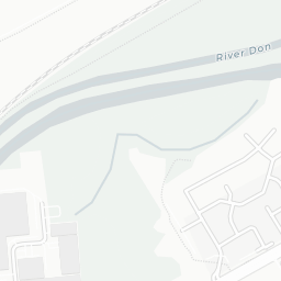
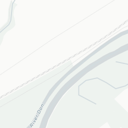
The location is in Flood Zone 1 (low risk — less than a 1 in 1,000 annual chance of river or sea flooding). road traffic noise is high (about 68 dB Lden).

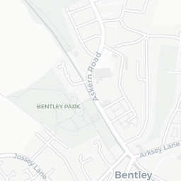
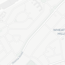
There are 8 green spaces within walking distance, totalling 21.2 hectares of parks and outdoor space. The nearest is St Peter's Church, about 2 minutes' walk away.

There are 21 supermarkets in the wider area, including Heron, Tesco, Morrisons, Lidl and others. The nearest is Heron Bentley, within a short walk. A public library is about 7 minutes' walk away.

Sources: DfE/Ofsted, UK Police API, NHS ODS, NaPTAN, Environment Agency, Ordnance Survey, Natural England, DEFRA, Geolytix and Arts Council England. For an interactive map view, explore DN5 0AA on NestScope.

Explore area insights about nearby locations

Data: DfE/Ofsted · UK Police API · NHS ODS · NaPTAN · Ordnance Survey · Geolytix. Crown Copyright / OGL. Look up any postcode: nestscope.uk/area/YOUR+POSTCODE — e.g. SW1A 1AA, M1 1AE, BS1 1HT.

NestScope

All data from publicly available UK government sources. Each dimension uses a category-appropriate radius (walking distance for crime and transport, school catchment, drive distance for healthcare). IMD context is the latest published English Indices of Deprivation (2019). This report is for informational purposes only.