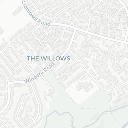
NestScope
DN34 4SY · Neighbourhood Report
© OpenStreetMap · © CARTO
Area Report
Last updated 15 JUN 2026

DN34 4SY

Neighbourhood Report

What's nearby — across walking, short-drive and school catchment distance. Data from official UK government sources.

NestScope Score
48/ 100

A more affordable, lower-income neighbourhood

Anchored on official IMD data — decile 2/10, ranked 3,364 of 32,844 neighbourhoods in England.

How this score is calculated
01 — Snapshot

Around DN34 4SY.

The large figure is how many we found nearby; the chip beside each label is that category’s NestScope score out of 100 — higher beats more of the UK.

Schools53/100
10Good/Outstanding within 1 mi

31 rated Good or better within 2 mi · 45 schools in total

Nearest top-rated: Ormiston Maritime Academy (Good) — 0.5 mi

Safety35/100
23crimes last month

IMD crime decile 1/10 · 23 crimes in 400m last month (residential-weighted: 17.7)

Crimes reported last month · UK Police API

Healthcare70/100
33GP & hospitals

IMD health decile 2/10 · 32 GP, 1 hospital, 11 dentists, pharmacy 0.4 mi within 1.5 mi

Nearest GP: PELHAM MEDICAL GROUP — 0.2 mi

Transport69/100
Grimsby Town Rail Station0.3 mi

27 bus stops also within 0.5 miles

Green space66/100
10green spaces

IMD environment decile 2/10 · 24.9 ha total — largest park 9.9 ha (0.37 mi away)

Nearest: Grimsby Bowling and West End Club — 0.2 mi

Amenities92/100
29supermarkets

29 supermarkets within 2 mi — Iceland, Marks and Spencer, Lidl, Tesco… — nearest 0.4 mi — library 0.5 mi

Nearest: Iceland Grimsby — 0.4 mi

02 — Environment

Environment & risk near DN34 4SY.

Official risk flags for context — deliberately not part of the NestScope score (they’re categorical hazards, not amenities).

Flood risk
Zone 1 (low)

Flood Zone 1 — low risk (less than 1 in 1,000 annual chance) · Source: Environment Agency Flood Map for Planning

Zone 1
Zone 2
Zone 3
Air qualityWithin WHO guideline
8.8µg/m³

NO₂ annual mean · WHO guideline 10 · UK limit 40 · Source: DEFRA UK-AIR 2024

<10
10–20
20–30
30–40
≥40
03 — House prices

Sold prices in DN34.

Average sold price by property type across the DN34 district, 202120261,688 sales.

£0£100k£200k£300k202120222023202420252026
  • Detached
  • Semi-detached
  • Terraced
  • Flat
Detached£234k 12.4%
Semi-detached£139k 7.1%
Terraced£110k 11.1%
Flat£98k 9.4%

District-level averages (DN34) — broad enough to show a reliable trend. A single postcode usually sees too few sales to chart. Source: HM Land Registry Price Paid Data (Crown Copyright / OGL v3.0).

About DN34 4SY

DN34 4SY scores 48/100 on the NestScope Score, with its strongest showing in local amenities and healthcare — with Iceland Grimsby about 7 minutes' walk away. The main trade-off is its safety score. The breakdown below draws on official UK data covering schools, safety, healthcare, transport, environment and local amenities.

In national context, DN34 4SY is a more affordable, lower-income neighbourhood — IMD decile 2/10, ranked 3,364 of 32,844 neighbourhoods in England. The Index of Multiple Deprivation is the UK government's official measure of relative deprivation, refreshed roughly every five years. Housing pressure here is low (IMD housing decile 8/10).

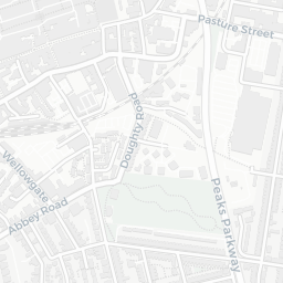
There are 45 schools within the typical catchment area, including 31 rated Good. The nearest school is St James' School, within a short walk.

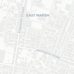
There were 23 crimes reported on the surrounding streets in the most recent month, indicating a moderate level of immediate-area crime.

Healthcare access is good, with 32 GP surgeries, 1 hospital and 11 dental practices in the wider neighbourhood. The nearest GP practice is PELHAM MEDICAL GROUP, about 4 minutes' walk away. The nearest hospital is DIANA PRINCESS OF WALES HOSPITAL, 1.1 mi away. A pharmacy is about 9 minutes' walk away.

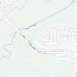
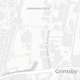
The nearest rail stations are Grimsby Town Rail Station (Train, about 6 minutes' walk away). There are also 27 bus stops within walking distance.

The location is in Flood Zone 1 (low risk — less than a 1 in 1,000 annual chance of river or sea flooding).

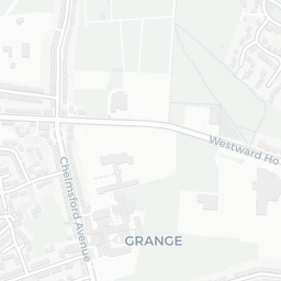
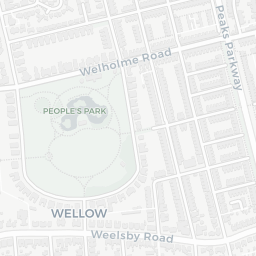
There are 10 green spaces within walking distance, totalling 24.9 hectares of parks and outdoor space. The nearest is Grimsby Bowling and West End Club, about 4 minutes' walk away.

There are 29 supermarkets in the wider area, including Iceland, Marks and Spencer, Lidl, Tesco and others. The nearest is Iceland Grimsby, about 7 minutes' walk away. A public library is about 10 minutes' walk away.

Sources: DfE/Ofsted, UK Police API, NHS ODS, NaPTAN, Environment Agency, Ordnance Survey, Natural England, DEFRA, Geolytix and Arts Council England. For an interactive map view, explore DN34 4SY on NestScope.

Explore area insights about nearby locations

Data: DfE/Ofsted · UK Police API · NHS ODS · NaPTAN · Ordnance Survey · Geolytix. Crown Copyright / OGL. Look up any postcode: nestscope.uk/area/YOUR+POSTCODE — e.g. SW1A 1AA, M1 1AE, BS1 1HT.