About CW11 4NE
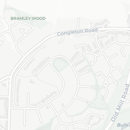
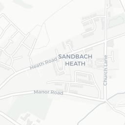
CW11 4NE scores 81/100 on the NestScope Score, with its strongest showing in local amenities and schools — with Aldi Arclid Sandbach within a short walk. The breakdown below draws on official UK data covering schools, safety, healthcare, transport, environment and local amenities.
In national context, CW11 4NE is one of the most affluent neighbourhoods in England — IMD decile 9/10, ranked 27,277 of 32,844 neighbourhoods in England. The Index of Multiple Deprivation is the UK government's official measure of relative deprivation, refreshed roughly every five years. Housing pressure here is high (IMD housing decile 4/10).
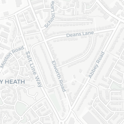
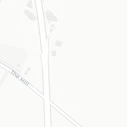
There are 10 schools within the typical catchment area, including 3 rated Good. The nearest school is The Lodge AP, within a short walk.
Healthcare access is available, with 2 GP surgeries and 6 dental practices in the wider neighbourhood. The nearest GP practice is ASHFIELDS PRIMARY CARE CENTRE, within a short walk. A pharmacy is about 3 minutes' walk away.
There are no train or Tube stations near CW11 4NE. Bus services provide the main public transport, with 19 bus stops in the immediate area.
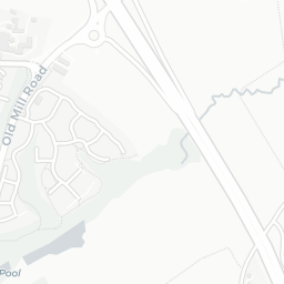
The location is in Flood Zone 1 (low risk — less than a 1 in 1,000 annual chance of river or sea flooding).
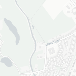
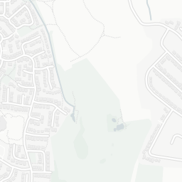
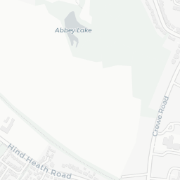
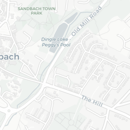
There are 9 green spaces within walking distance, totalling 6.2 hectares of parks and outdoor space. The nearest is Saxon Place, within a short walk.
There are 8 supermarkets in the wider area, including Aldi, Waitrose, Iceland, Morrisons and others. The nearest is Aldi Arclid Sandbach, within a short walk. A public library is about 6 minutes' walk away.
Sources: DfE/Ofsted, UK Police API, NHS ODS, NaPTAN, Environment Agency, Ordnance Survey, Natural England, DEFRA, Geolytix and Arts Council England. For an interactive map view, explore CW11 4NE on NestScope.