NestScope
CV34 6PL · Neighbourhood Report
© OpenStreetMap · © CARTO
Area Report
Last updated 17 JUN 2026

CV34 6PL

Neighbourhood Report

What's nearby — across walking, short-drive and school catchment distance. Data from official UK government sources.

NestScope Score
86/ 100

One of the most affluent neighbourhoods in England

Anchored on official IMD data — decile 10/10, ranked 30,640 of 32,844 neighbourhoods in England.

How this score is calculated
01 — Snapshot

Around CV34 6PL.

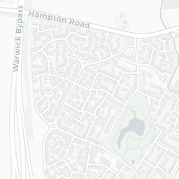
The large figure is how many we found nearby; the chip beside each label is that category’s NestScope score out of 100 — higher beats more of the UK.

Schools93/100
7Good/Outstanding within 1 mi

15 rated Good or better within 2 mi · 26 schools in total

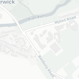
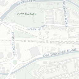
Nearest top-rated: Coten End Primary School (Good) — 0.4 mi

Safety72/100
4crimes last month

IMD crime decile 6/10 · 4 crimes in 400m last month (residential-weighted: 1.9)

Crimes reported last month · UK Police API
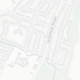
Healthcare90/100
20GP & hospitals

IMD health decile 9/10 · 19 GP, 1 hospital, 4 dentists, pharmacy 0.6 mi within 1.5 mi

Nearest GP: PRIORY MEDICAL CENTRE — 0.7 mi
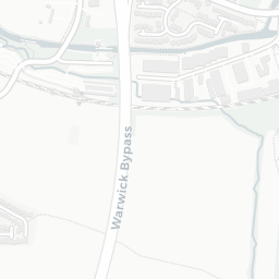
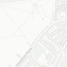
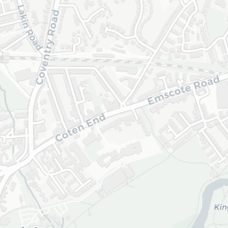
Transport74/100

No rail stations within 0.5 miles · 17 bus stops nearby
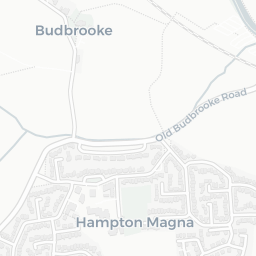
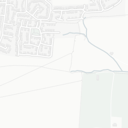
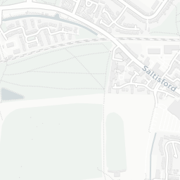
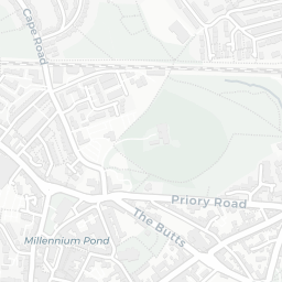
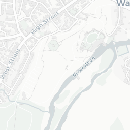
Green space75/100
11green spaces

IMD environment decile 7/10 · 29.2 ha total — no proper park nearby

Nearest: Playground (0.16 ha) — 0.2 mi

Amenities82/100
27supermarkets

27 supermarkets within 2 mi — Sainsburys, Lidl, Tesco, Asda… — nearest 0.4 mi — library 0.6 mi

Nearest: Sainsburys Warwick Coten End Local — 0.4 mi

02 — Environment

Environment & risk near CV34 6PL.

Official risk flags for context — deliberately not part of the NestScope score (they’re categorical hazards, not amenities).

Flood risk
Zone 1 (low)

Flood Zone 1 — low risk (less than 1 in 1,000 annual chance) · Source: Environment Agency Flood Map for Planning

Zone 1
Zone 2
Zone 3
Air qualityWithin WHO guideline
7.5µg/m³

NO₂ annual mean · WHO guideline 10 · UK limit 40 · Source: DEFRA UK-AIR 2024

<10
10–20
20–30
30–40
≥40
Road noiseQuiet
54dB Lden

Road traffic, day-evening-night average · Source: DEFRA strategic noise mapping

<55
55–64
65–74
≥75

About CV34 6PL

CV34 6PL scores 86/100 on the NestScope Score, with its strongest showing in schools and healthcare — with Warwick Preparatory School within a short walk. The breakdown below draws on official UK data covering schools, safety, healthcare, transport, environment and local amenities.

Explore area insights about nearby locations

Data: DfE/Ofsted · UK Police API · NHS ODS · NaPTAN · Ordnance Survey · Geolytix. Crown Copyright / OGL. Look up any postcode: nestscope.uk/area/YOUR+POSTCODE — e.g. SW1A 1AA, M1 1AE, BS1 1HT.