NestScope
CR2 7DW · Neighbourhood Report
© OpenStreetMap · © CARTO
Area Report
Last updated 13 JUN 2026

CR2 7DW

Neighbourhood Report

What's nearby — across walking, short-drive and school catchment distance. Data from official UK government sources.

NestScope Score
67/ 100

An above-average neighbourhood

Anchored on official IMD data — decile 5/10, ranked 15,799 of 32,844 neighbourhoods in England.

How this score is calculated
01 — Snapshot

Around CR2 7DW.

The large figure is how many we found nearby; the chip beside each label is that category’s NestScope score out of 100 — higher beats more of the UK.

Schools76/100
15Good/Outstanding within 1 mi

49 rated Good or better within 2 mi · 74 schools in total

Nearest top-rated: Heathfield Academy (Good) — 0.3 mi

Safety59/100
37crimes last month

IMD crime decile 6/10 · 37 crimes in 400m last month (residential-weighted: 23)

Crimes reported last month · UK Police API

Healthcare77/100
15GP & hospitals

IMD health decile 4/10 · 14 GP, 1 hospital, 26 dentists, pharmacy 0.3 mi within 1.5 mi

Nearest GP: BIRDHURST MEDICAL PRACTICE — 0.1 mi

Transport86/100
South Croydon Rail Station0.0 mi
Lloyd Park Tram Stop0.5 mi

32 bus stops also within 0.5 miles

Green space68/100
11green spaces

IMD environment decile 5/10 · 9.4 ha total — largest park 6.2 ha (0.43 mi away)

Nearest: St Peter's Church — 0.1 mi

Amenities86/100
41supermarkets

41 supermarkets within 2 mi — Tesco, Sainsburys, The Co-operative Group, Iceland… — nearest 0.3 mi — library 0.7 mi

Nearest: Tesco Croydon South End Express — 0.3 mi

02 — Environment

Environment & risk near CR2 7DW.

Official risk flags for context — deliberately not part of the NestScope score (they’re categorical hazards, not amenities).

Flood risk
Zone 1 (low)

Flood Zone 1 — low risk (less than 1 in 1,000 annual chance) · Source: Environment Agency Flood Map for Planning

Zone 1
Zone 2
Zone 3
Air qualityLow
14.8µg/m³

NO₂ annual mean · WHO guideline 10 · UK limit 40 · Source: DEFRA UK-AIR 2024

<10
10–20
20–30
30–40
≥40
03 — House prices

Sold prices in CR2.

Average sold price by property type across the CR2 district, 202120264,100 sales.

£0£250k£500k£750k£1M202120222023202420252026
  • Detached
  • Semi-detached
  • Terraced
  • Flat
Detached£775k 1.5%
Semi-detached£610k 16.3%
Terraced£435k 5.7%
Flat£265k 15.0%

District-level averages (CR2) — broad enough to show a reliable trend. A single postcode usually sees too few sales to chart. Source: HM Land Registry Price Paid Data (Crown Copyright / OGL v3.0).

About CR2 7DW

CR2 7DW scores 67/100 on the NestScope Score, with its strongest showing in transport and local amenities — with South Croydon Rail Station within a short walk. The breakdown below draws on official UK data covering schools, safety, healthcare, transport, environment and local amenities.

In national context, CR2 7DW is an above-average neighbourhood — IMD decile 5/10, ranked 15,799 of 32,844 neighbourhoods in England. The Index of Multiple Deprivation is the UK government's official measure of relative deprivation, refreshed roughly every five years. Housing pressure here is high (IMD housing decile 1/10).

There are 74 schools within the typical catchment area, including 12 rated Outstanding by Ofsted and 37 rated Good. The nearest school is Elmhurst School Ltd, within a short walk.

There were 37 crimes reported on the surrounding streets in the most recent month, indicating a elevated level of immediate-area crime.

Healthcare access is good, with 14 GP surgeries, 1 hospital and 26 dental practices in the wider neighbourhood. The nearest GP practice is BIRDHURST MEDICAL PRACTICE, about 3 minutes' walk away. The nearest hospital is GSTT @ WEST VALLEY HOSPITAL, 1.2 mi away. A pharmacy is about 5 minutes' walk away.

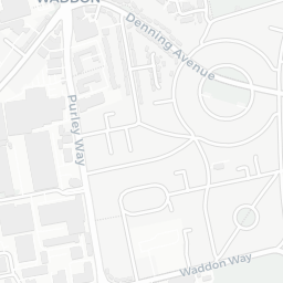
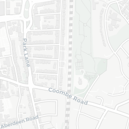
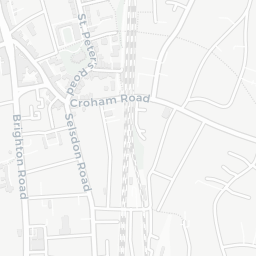
The nearest rail stations are South Croydon Rail Station (Train, within a short walk), Lloyd Park Tram Stop (Tube/Metro, about 9 minutes' walk away). There are also 32 bus stops within walking distance.

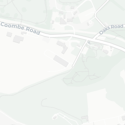
The location is in Flood Zone 1 (low risk — less than a 1 in 1,000 annual chance of river or sea flooding).

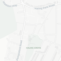
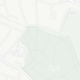
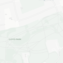
There are 11 green spaces within walking distance, totalling 9.4 hectares of parks and outdoor space. The nearest is St Peter's Church, about 3 minutes' walk away.

There are 41 supermarkets in the wider area, including Tesco, Sainsburys, The Co-operative Group, Iceland and others. The nearest is Tesco Croydon South End Express, about 5 minutes' walk away. A public library is about 14 minutes' walk away.

Sources: DfE/Ofsted, UK Police API, NHS ODS, NaPTAN, Environment Agency, Ordnance Survey, Natural England, DEFRA, Geolytix and Arts Council England. For an interactive map view, explore CR2 7DW on NestScope.

Explore area insights about nearby locations

Data: DfE/Ofsted · UK Police API · NHS ODS · NaPTAN · Ordnance Survey · Geolytix. Crown Copyright / OGL. Look up any postcode: nestscope.uk/area/YOUR+POSTCODE — e.g. SW1A 1AA, M1 1AE, BS1 1HT.

NestScope

All data from publicly available UK government sources. Each dimension uses a category-appropriate radius (walking distance for crime and transport, school catchment, drive distance for healthcare). IMD context is the latest published English Indices of Deprivation (2019). This report is for informational purposes only.