NestScope
CM13 3TR · Neighbourhood Report
© OpenStreetMap · © CARTO
Area Report
Last updated 13 JUN 2026

CM13 3TR

Neighbourhood Report

What's nearby — across walking, short-drive and school catchment distance. Data from official UK government sources.

NestScope Score
76/ 100

One of the most affluent neighbourhoods in England

Anchored on official IMD data — decile 9/10, ranked 26,749 of 32,844 neighbourhoods in England.

How this score is calculated
01 — Snapshot

Around CM13 3TR.

The large figure is how many we found nearby; the chip beside each label is that category’s NestScope score out of 100 — higher beats more of the UK.

Schools68/100
1Good/Outstanding within 1 mi

3 rated Good or better within 2 mi · 4 schools in total

Nearest top-rated: West Horndon Primary School (Good) — 0.1 mi

Safety67/100
5crimes last month

IMD crime decile 5/10 · 5 crimes in 400m last month (residential-weighted: 4.3)

Crimes reported last month · UK Police API

Healthcare68/100
0GP & hospitals

IMD health decile 10/10 · no GP / hospital / dentist within 1.5 mi

Transport82/100
West Horndon Rail Station0.3 mi

3 bus stops also within 0.5 miles

Green space69/100
4green spaces

IMD environment decile 5/10 · 3.7 ha total — largest park 3.3 ha (0.14 mi away)

Nearest: St Francis' Church — 0.1 mi

Amenities51/100
2supermarkets

2 supermarkets within 2 mi — Morrisons, Marks and Spencer — nearest 0.2 mi

Nearest: Morrisons Daily West Horndon Chafford Gdns — 0.2 mi

02 — Environment

Environment & risk near CM13 3TR.

Official risk flags for context — deliberately not part of the NestScope score (they’re categorical hazards, not amenities).

Flood risk
Zone 3 (high)

Flood Zone 3 — high risk (1 in 100 annual chance) · Source: Environment Agency Flood Map for Planning

Zone 1
Zone 2
Zone 3
Air qualityLow
11.1µg/m³

NO₂ annual mean · WHO guideline 10 · UK limit 40 · Source: DEFRA UK-AIR 2024

<10
10–20
20–30
30–40
≥40
Road noiseQuiet
50dB Lden

Road traffic, day-evening-night average · Source: DEFRA strategic noise mapping

<55
55–64
65–74
≥75

About CM13 3TR

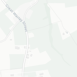
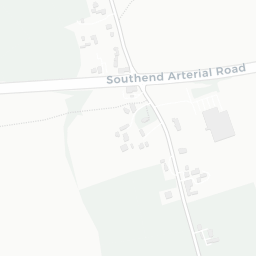
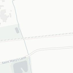
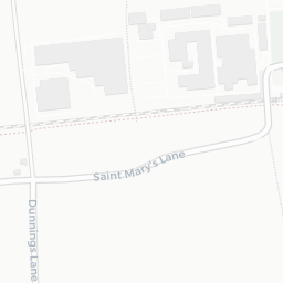
CM13 3TR scores 76/100 on the NestScope Score, with its strongest showing in transport and green space — with West Horndon Rail Station about 7 minutes' walk away. The breakdown below draws on official UK data covering schools, safety, healthcare, transport, environment and local amenities.

In national context, CM13 3TR is one of the most affluent neighbourhoods in England — IMD decile 9/10, ranked 26,749 of 32,844 neighbourhoods in England. The Index of Multiple Deprivation is the UK government's official measure of relative deprivation, refreshed roughly every five years. Housing pressure here is low (IMD housing decile 9/10).

There are 4 schools within the typical catchment area, including 3 rated Good. The nearest school is West Horndon Primary School (Ofsted: Good), within a short walk.

There were 5 crimes reported on the surrounding streets in the most recent month, indicating a very low level of immediate-area crime.

There are no GP surgeries, hospitals or pharmacies within easy reach of CM13 3TR. Residents may need to travel further for healthcare access.

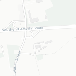
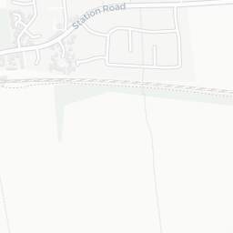
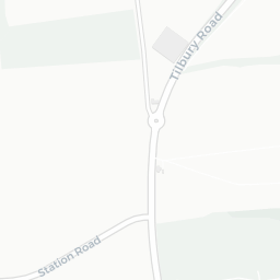
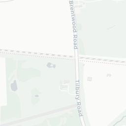
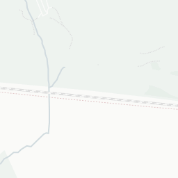
The nearest rail stations are West Horndon Rail Station (Train, about 7 minutes' walk away). There are also 3 bus stops within walking distance.

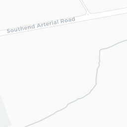
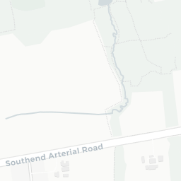
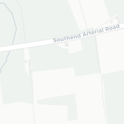
The location sits in Flood Zone 3 (high risk — between a 1 in 100 and 1 in 200 annual chance of river or sea flooding), which may affect insurance and mortgage availability. road traffic noise is low (about 50 dB Lden).

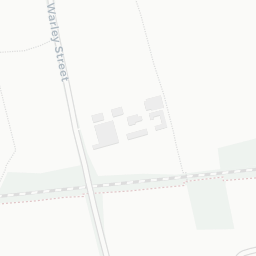
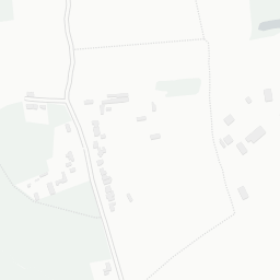
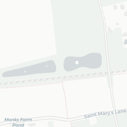
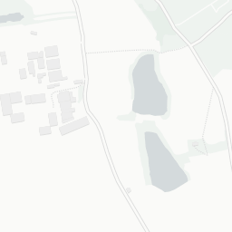
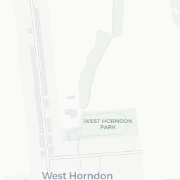
There are 4 green spaces within walking distance, totalling 3.7 hectares of parks and outdoor space. The nearest is St Francis' Church, within a short walk. It also lies just beside a Country Park (about 11 minutes' walk away), adding open countryside that isn't recorded as a formal park.

There are 2 supermarkets in the wider area, including Morrisons, Marks and Spencer. The nearest is Morrisons Daily West Horndon Chafford Gdns, about 4 minutes' walk away.

Sources: DfE/Ofsted, UK Police API, NHS ODS, NaPTAN, Environment Agency, Ordnance Survey, Natural England, DEFRA, Geolytix and Arts Council England. For an interactive map view, explore CM13 3TR on NestScope.

Data: DfE/Ofsted · UK Police API · NHS ODS · NaPTAN · Ordnance Survey · Geolytix. Crown Copyright / OGL. Look up any postcode: nestscope.uk/area/YOUR+POSTCODE — e.g. SW1A 1AA, M1 1AE, BS1 1HT.

NestScope

All data from publicly available UK government sources. Each dimension uses a category-appropriate radius (walking distance for crime and transport, school catchment, drive distance for healthcare). IMD context is the latest published English Indices of Deprivation (2019). This report is for informational purposes only.