Area Report
Last updated 23 JUN 2026Neighbourhood Report
What's nearby — across walking, short-drive and school catchment distance. Data from official UK government sources.
01 — Snapshot
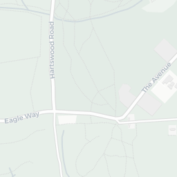
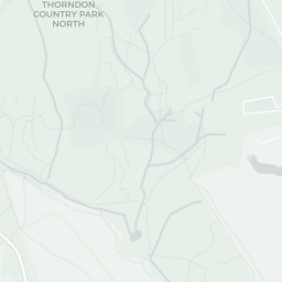
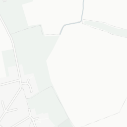
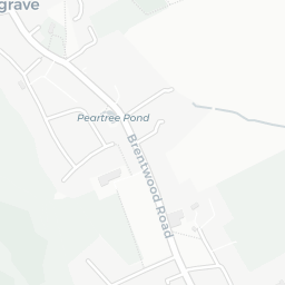
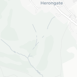
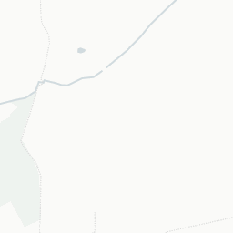
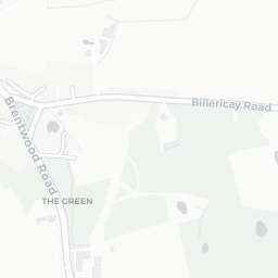
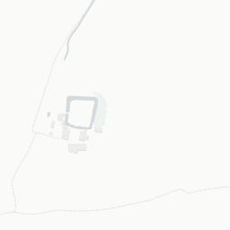
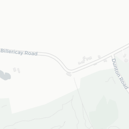
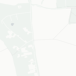
Around CM13 3NU.
The large figure is how many we found nearby; the chip beside each label is that category’s NestScope score out of 100 — higher beats more of the UK.
1Good/Outstanding within 1 mi
5 rated Good or better within 2 mi · 7 schools in total
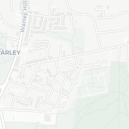
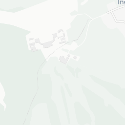
Nearest top-rated: Ingrave Johnstone Church of England Voluntary Aided Primary School (Good) — 0.0 mi
—
IMD crime decile 6/10 · live count unavailable
Data temporarily unavailable
0GP & hospitals
IMD health decile 10/10 · 1 dentist, pharmacy 0.3 mi within 1.5 mi
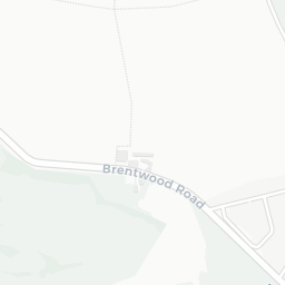
No rail stations within 0.5 miles · 9 bus stops nearby
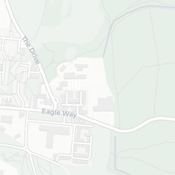
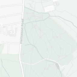
4green spaces
IMD environment decile 8/10 · 83.2 ha total — largest park 81.6 ha (0.18 mi away)
Nearest: Playing Field (0.95 ha) — 0.2 mi
1supermarkets
1 supermarket within 2 mi — Marks and Spencer — nearest 0.1 mi
Nearest: M&S Ingrave BP — 0.1 mi
02 — Environment
Environment & risk near CM13 3NU.
Official risk flags for context — deliberately not part of the NestScope score (they’re categorical hazards, not amenities).
Flood risk
Zone 1 (low)
Flood Zone 1 — low risk (less than 1 in 1,000 annual chance) · Source: Environment Agency Flood Map for Planning
Air qualityLow
10.3µg/m³
NO₂ annual mean · WHO guideline 10 · UK limit 40 · Source: DEFRA UK-AIR 2024
Road noiseLoud
67dB Lden
Road traffic, day-evening-night average · Source: DEFRA strategic noise mapping
About CM13 3NU
CM13 3NU scores 79/100 on the NestScope Score, with its strongest showing in schools and green space — with Ingrave Johnstone Church of England Voluntary Aided Primary School within a short walk. The breakdown below draws on official UK data covering schools, safety, healthcare, transport, environment and local amenities.
In national context, CM13 3NU is one of the most affluent neighbourhoods in England — IMD decile 9/10, ranked 29,329 of 32,844 neighbourhoods in England. The Index of Multiple Deprivation is the UK government's official measure of relative deprivation, refreshed roughly every five years. Housing pressure here is high (IMD housing decile 4/10).
There are 7 schools within the typical catchment area, including 5 rated Good. The nearest school is Ingrave Johnstone Church of England Voluntary Aided Primary School (Ofsted: Good), within a short walk.
Healthcare access is available, with 1 dental practice in the wider neighbourhood. A pharmacy is about 6 minutes' walk away.
There are no train or Tube stations near CM13 3NU. Bus services provide the main public transport, with 9 bus stops in the immediate area.