Area Report
Last updated 17 JUN 2026Neighbourhood Report
What's nearby — across walking, short-drive and school catchment distance. Data from official UK government sources.
01 — Snapshot
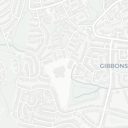
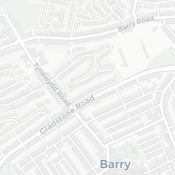
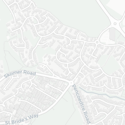
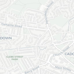
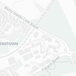
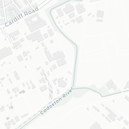
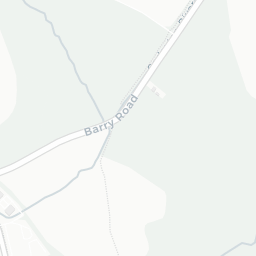
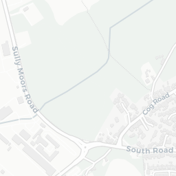
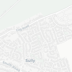
Around CF63 2PG.
The large figure is how many we found nearby; the chip beside each label is that category’s NestScope score out of 100 — higher beats more of the UK.
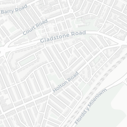
Schools72/100
0Good/Outstanding within 1 mi
0 rated Good or better within 2 mi · 18 schools in total
No Good or Outstanding school within 2 mi
Safety68/100
9crimes last month
9 crimes in 400m last month (residential-weighted: 5.1)
Crimes reported last month · UK Police API
Healthcare82/100
7GP & hospitals
7 GP, 2 dentists, pharmacy 0.5 mi within 1.5 mi
Nearest GP: THE PRACTICE OF HEALTH — 0.7 mi
Transport89/100
Cadoxton Rail Station0.5 mi
27 bus stops also within 0.5 miles
Green space63/100
10green spaces
8 ha total — no proper park nearby
Nearest: Playground (600 m²) — 0.1 mi
Amenities73/100
10supermarkets
10 supermarkets within 2 mi — Iceland, Tesco, Lidl, Spar… — nearest 0.2 mi
Nearest: Iceland Barry Food Warehouse — 0.2 mi
02 — Environment
Environment & risk near CF63 2PG.
Official risk flags for context — deliberately not part of the NestScope score (they’re categorical hazards, not amenities).
Flood risk
Zone 1 (low)
Flood Zone 1 — low risk (less than 1 in 1,000 annual chance) · Source: Environment Agency Flood Map for Planning
Air qualityWithin WHO guideline
8.4µg/m³
NO₂ annual mean · WHO guideline 10 · UK limit 40 · Source: DEFRA UK-AIR 2024
About CF63 2PG
CF63 2PG scores 74/100 on the NestScope Score, with its strongest showing in transport and healthcare — with Cadoxton Rail Station about 9 minutes' walk away. The breakdown below draws on official UK data covering schools, safety, healthcare, transport, environment and local amenities.