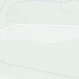
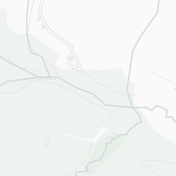
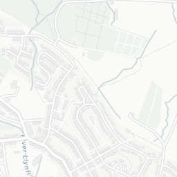
NestScope
CF34 9AY · Neighbourhood Report
© OpenStreetMap · © CARTO
Area Report
Last updated 15 JUN 2026

CF34 9AY

Neighbourhood Report

What's nearby — across walking, short-drive and school catchment distance. Data from official UK government sources.

NestScope Score
72/ 100

Partial score · Wales

A full NestScope Score relies on the England-only IMD backbone (plus schools, healthcare and crime data), so this is a partial score for Wales, based only on the layers actually covered here.

How this score is calculated
01 — Snapshot

Around CF34 9AY.

The large figure is how many we found nearby; the chip beside each label is that category’s NestScope score out of 100 — higher beats more of the UK.

Schools72/100
0Good/Outstanding within 1 mi

0 rated Good or better within 2 mi · 8 schools in total

No Good or Outstanding school within 2 mi

Safety52/100
29crimes last month

29 crimes in 400m last month (residential-weighted: 19.7)

Crimes reported last month · UK Police API

Healthcare79/100
2GP & hospitals

2 GP, 2 dentists, pharmacy 0.2 mi within 1.5 mi

Nearest GP: LLYNFI SURGERY — 0.4 mi

Transport94/100
Maesteg (Ewenny Road) Rail Station0.2 mi
Maesteg Rail Station0.3 mi

33 bus stops also within 0.5 miles

Green space79/100
14green spaces

11.2 ha total — largest park 2.9 ha (0.11 mi away)

Nearest: Our Lady and St Patrick's Catholic Church — 0.0 mi

Amenities83/100
5supermarkets

5 supermarkets within 2 mi — Asda, Aldi, Iceland, Spar… — nearest 0.3 mi

Nearest: Asda Maesteg Supermarket — 0.3 mi

02 — Environment

Environment & risk near CF34 9AY.

Official risk flags for context — deliberately not part of the NestScope score (they’re categorical hazards, not amenities).

Flood risk
Zone 1 (low)

Flood Zone 1 — low risk (less than 1 in 1,000 annual chance) · Source: Environment Agency Flood Map for Planning

Zone 1
Zone 2
Zone 3
Air qualityWithin WHO guideline
5.5µg/m³

NO₂ annual mean · WHO guideline 10 · UK limit 40 · Source: DEFRA UK-AIR 2024

<10
10–20
20–30
30–40
≥40

About CF34 9AY

CF34 9AY scores 72/100 on the NestScope Score, with its strongest showing in transport and local amenities — with Maesteg (Ewenny Road) Rail Station about 5 minutes' walk away. The breakdown below draws on official UK data covering schools, safety, healthcare, transport, environment and local amenities.

CF34 9AY sits outside England, so the national deprivation backbone (IMD) that anchors the NestScope Score isn't available — the figures below are based on local amenities only.

There are 8 schools within the typical catchment area. The nearest school is St Mary's & St Patrick's Catholic Primary School, within a short walk.

There were 29 crimes reported on the surrounding streets in the most recent month, indicating a moderate level of immediate-area crime.

Healthcare access is available, with 2 GP surgeries and 2 dental practices in the wider neighbourhood. The nearest GP practice is LLYNFI SURGERY, about 8 minutes' walk away. A pharmacy is about 3 minutes' walk away.

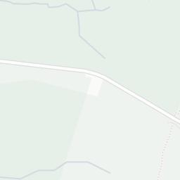
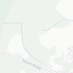
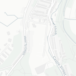
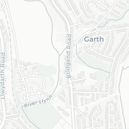
The nearest rail stations are Maesteg (Ewenny Road) Rail Station (Train, about 5 minutes' walk away), Maesteg Rail Station (Train, about 5 minutes' walk away). There are also 33 bus stops within walking distance.

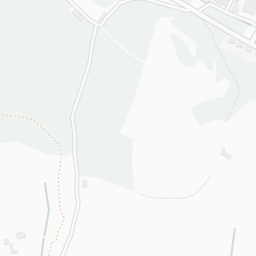
The location is in Flood Zone 1 (low risk — less than a 1 in 1,000 annual chance of river or sea flooding).

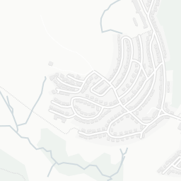
There are 14 green spaces within walking distance, totalling 11.2 hectares of parks and outdoor space. The nearest is Our Lady and St Patrick's Catholic Church, within a short walk.

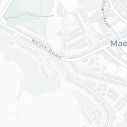
There are 5 supermarkets in the wider area, including Asda, Aldi, Iceland, Spar and others. The nearest is Asda Maesteg Supermarket, about 6 minutes' walk away.

Sources: DfE/Ofsted, UK Police API, NHS ODS, NaPTAN, Environment Agency, Ordnance Survey, Natural England, DEFRA, Geolytix and Arts Council England. For an interactive map view, explore CF34 9AY on NestScope.

Explore area insights about nearby locations

Data: DfE/Ofsted · UK Police API · NHS ODS · NaPTAN · Ordnance Survey · Geolytix. Crown Copyright / OGL. Look up any postcode: nestscope.uk/area/YOUR+POSTCODE — e.g. SW1A 1AA, M1 1AE, BS1 1HT.