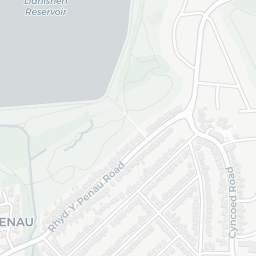
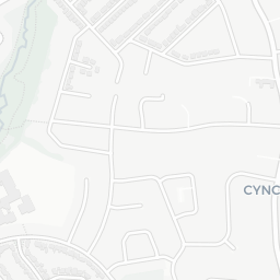
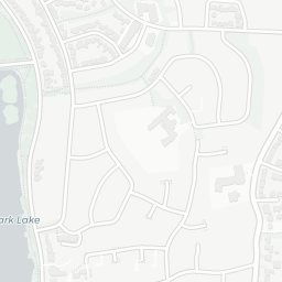
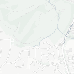
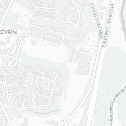
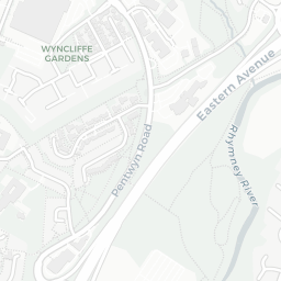
What's nearby — across walking, short-drive and school catchment distance. Data from official UK government sources.
NestScope Score
76/ 100
Partial score · Wales
A full NestScope Score relies on the England-only IMD backbone (plus schools, healthcare and crime data), so this is a partial score for Wales, based only on the layers actually covered here.
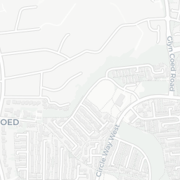
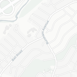
25 crimes in 400m last month (residential-weighted: 7.2)
Crimes reported last month · UK Police API
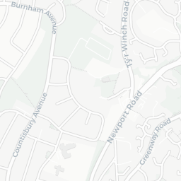
Healthcare85/100
6GP & hospitals
6 GP, 7 dentists, pharmacy 0.3 mi within 1.5 mi
Nearest GP: RUMNEY PRIMARY CARE CENTRE — 0.6 mi
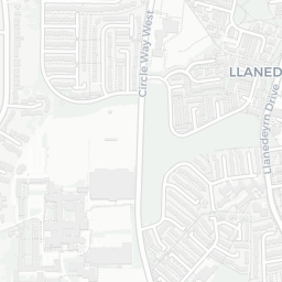
Transport77/100
No rail stations within 0.5 miles · 38 bus stops nearby
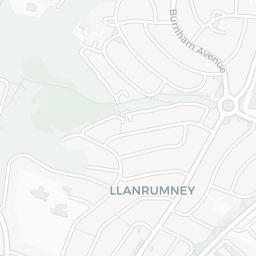
Green space83/100
11green spaces
52.8 ha total — largest park 25.4 ha (0.36 mi away)
Nearest: Lynton Terrace Allotments — 0.2 mi
Amenities80/100
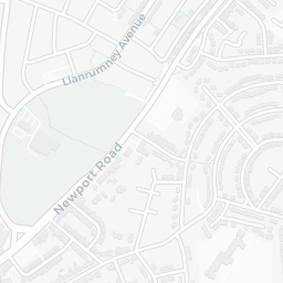
25supermarkets
25 supermarkets within 2 mi — Iceland, Heron, Tesco, Sainsburys… — nearest 0.4 mi
Nearest: Iceland Llanrumney — 0.4 mi
02 — Environment
Environment & risk near CF3 4HD.
Official risk flags for context — deliberately not part of the NestScope score (they’re categorical hazards, not amenities).
Flood risk
Zone 1 (low)
Flood Zone 1 — low risk (less than 1 in 1,000 annual chance) · Source: Environment Agency Flood Map for Planning
▼
Zone 1
Zone 2
Zone 3
Air qualityLow
11.1µg/m³
NO₂ annual mean · WHO guideline 10 · UK limit 40 · Source: DEFRA UK-AIR 2024
▼
<10
10–20
20–30
30–40
≥40
03 — House prices
Sold prices in CF3.
Average sold price by property type across the CF3 district, 2021–2026 — 3,595 sales.
Detached
Semi-detached
Terraced
Flat
Detached£372k▼ 0.3%
Semi-detached£262k▲ 17.3%
Terraced£221k▲ 13.7%
Flat£133k▲ 8.4%
District-level averages (CF3) — broad enough to show a reliable trend. A single postcode usually sees too few sales to chart. Source: HM Land Registry Price Paid Data (Crown Copyright / OGL v3.0).
About CF3 4HD
CF3 4HD scores 76/100 on the NestScope Score, with its strongest showing in healthcare and green space — with RUMNEY PRIMARY CARE CENTRE about 12 minutes' walk away. The breakdown below draws on official UK data covering schools, safety, healthcare, transport, environment and local amenities.