Area Report
Last updated 25 JUL 2026Neighbourhood Report
NestScope is deepest in England. Ofsted school ratings, flood risk and the IMD-anchored NestScope Score aren't published for Wales, so this report shows only the layers official Wales sources cover.
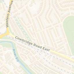
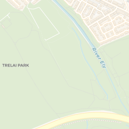
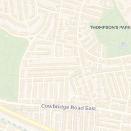
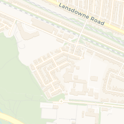
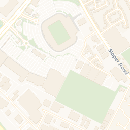
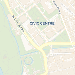
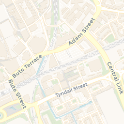
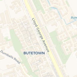
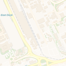
A neighbourhood of Cardiff: a school 0.5 miles away and Cardiff Central Rail Station 0.2 miles off, putting roughly 19 km² within half an hour by public transport — though there is little in the way of parkland nearby.
What's nearby — across walking, short-drive and school catchment distance. Data from official UK government sources.
01 — Snapshot
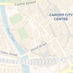
Around CF10 1NS.
The large figure is how many we found nearby; the chip beside each label is that category’s NestScope score out of 100 — higher beats more of the UK.
Are the schools any good?
40schools nearby
- 40 schools nearby
- Ofsted/KS4 ratings not available in Wales
Nearest: St Mary The Virgin C.I.W. Primary School — 0.5 mi
Is it safe?
197crimes last month
- 197 crimes in 0.25 mi last month (residential-weighted: 142.1)
Crimes reported last month · UK Police API
Can I see a GP?
31GP & hospitals
- 31 GP, 15 dentists, pharmacy 0.1 mi within 1.5 mi
Nearest GP: PRIMECARE — 0.4 mi
Can I get to work?
Cardiff Central Rail Station0.2 mi
105 bus stops also within 0.5 miles · nearest 0.10 mi
NestReach: ≈ 19 km² reachable within 30 min by bus & rail · England median ≈ 7 km² See the reach map →
How green is it?
11green spaces
- 2.6 ha total
- no proper park nearby
Nearest: Bowling Green (0.21 ha) — 0.2 mi
Can I get the shopping done?
63shops & libraries
- 63 supermarkets within 2 mi
- Tesco, Sainsburys, Marks and Spencer, Spar…
- nearest 0.1 mi
Nearest: Tesco Cardiff Central Express — 0.1 mi
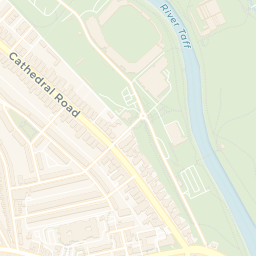
02 — Environment
Environment & risk near CF10 1NS.
Official risk flags for context — deliberately not part of the NestScope score (they’re categorical hazards, not amenities). Flood zones, air quality & noise explained.
03 — House prices
Sold prices in CF10.
Average sold price by property type across the CF10 district, 2021–2026.
About CF10 1NS
CF10 1NS scores 76/100 on the NestScope Score, with its strongest showing in schools and transport — with St Mary The Virgin C.I.W. Primary School 0.5 mi away. The main trade-off is its green space score. The breakdown below draws on official UK data covering schools, safety, healthcare, transport, environment and local amenities.
CF10 1NS sits outside England, so the national deprivation backbone (IMD) that anchors the NestScope Score isn't available — the figures below are based on local amenities only.
There are 40 schools within the typical catchment area. The nearest school is St Mary The Virgin C.I.W. Primary School, 0.5 mi away.
There were 197 crimes reported on the surrounding streets in the most recent month, indicating a high level of immediate-area crime.
Healthcare access is good, with 31 GP surgeries and 15 dental practices in the wider neighbourhood. The nearest GP practice is PRIMECARE, 0.4 mi away. A pharmacy is 0.1 mi away.