Nearest top-rated: Exning Primary School (Outstanding) — 1.1 mi
Safety80/100
—
IMD crime decile 8/10 · live count unavailable
Data temporarily unavailable
Healthcare70/100
0GP & hospitals
IMD health decile 8/10 · 1 dentist, pharmacy 0.8 mi within 1.5 mi
Transport53/100
No rail stations within 0.5 miles
Green space45/100
0green spaces
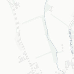
IMD environment decile 4/10 · no green spaces within 0.5 mi
Amenities69/100
7supermarkets
7 supermarkets within 2 mi — Iceland, Tesco, The Co-operative Group, Aldi… — nearest 0.8 mi
Nearest: Iceland Newmarket Food Warehouse — 0.8 mi
02 — Environment
Environment & risk near CB8 7LF.
Official risk flags for context — deliberately not part of the NestScope score (they’re categorical hazards, not amenities).
Flood risk
Zone 1 (low)
Flood Zone 1 — low risk (less than 1 in 1,000 annual chance) · Source: Environment Agency Flood Map for Planning
▼
Zone 1
Zone 2
Zone 3
Air qualityWithin WHO guideline
6.5µg/m³
NO₂ annual mean · WHO guideline 10 · UK limit 40 · Source: DEFRA UK-AIR 2024
▼
<10
10–20
20–30
30–40
≥40
03 — House prices
Sold prices in CB8.
Average sold price by property type across the CB8 district, 2021–2026 — 3,053 sales.
Detached
Semi-detached
Terraced
Flat
Detached£462k▼ 10.1%
Semi-detached£313k▼ 1.4%
Terraced£245k▼ 4.7%
Flat£204k▲ 6.3%
District-level averages (CB8) — broad enough to show a reliable trend. A single postcode usually sees too few sales to chart. Source: HM Land Registry Price Paid Data (Crown Copyright / OGL v3.0).
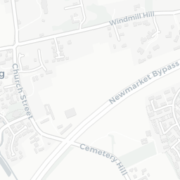
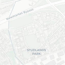
About CB8 7LF
CB8 7LF scores 69/100 on the NestScope Score, with its strongest showing in safety and schools. The breakdown below draws on official UK data covering schools, safety, healthcare, transport, environment and local amenities.
In national context, CB8 7LF is a well-off neighbourhood — IMD decile 7/10, ranked 21,957 of 32,844 neighbourhoods in England. The Index of Multiple Deprivation is the UK government's official measure of relative deprivation, refreshed roughly every five years. Housing pressure here is moderate (IMD housing decile 5/10).
There are 8 schools within the typical catchment area, including 1 rated Outstanding by Ofsted and 3 rated Good. The nearest school is Cambian Dunbroch School, within a short walk.
Healthcare access is available, with 1 dental practice in the wider neighbourhood. A pharmacy is 0.8 mi away.
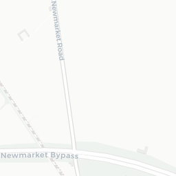
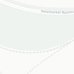
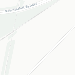
There are no public transport stops near CB8 7LF, making this a more car-dependent location.
The location is in Flood Zone 1 (low risk — less than a 1 in 1,000 annual chance of river or sea flooding).
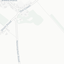
There are no mapped green spaces within walking distance of CB8 7LF, though formal parks aren't the whole picture in more rural spots.
There are 7 supermarkets in the wider area, including Iceland, Tesco, The Co-operative Group, Aldi and others. The nearest is Iceland Newmarket Food Warehouse, 0.8 mi away.
Sources: DfE/Ofsted, UK Police API, NHS ODS, NaPTAN, Environment Agency, Ordnance Survey, Natural England, DEFRA, Geolytix and Arts Council England. For an interactive map view, explore CB8 7LF on NestScope.