Area Report
Last updated 25 JUL 2026Neighbourhood Report
NestScope is deepest in England. Ofsted school ratings, flood risk and the IMD-anchored NestScope Score aren't published for Northern Ireland, so this report shows only the layers official Northern Ireland sources cover.
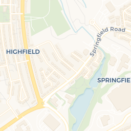
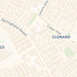
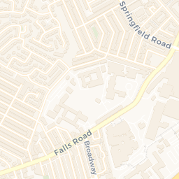
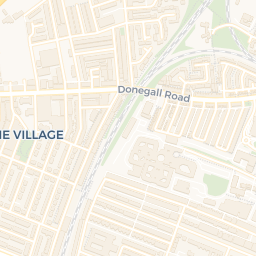
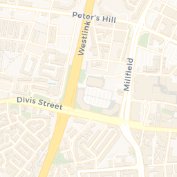
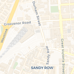
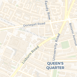
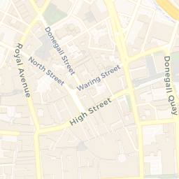
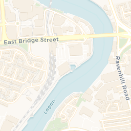
A neighbourhood of Belfast: a school 0.3 miles away and BELFAST - EUROPA/GVS 0.3 miles off.
What's nearby — across walking, short-drive and school catchment distance. Data from official UK government sources.
01 — Snapshot
Around BT1 5GS.
The large figure is how many we found nearby; the chip beside each label is that category’s NestScope score out of 100 — higher beats more of the UK.
Are the schools any good?
93schools nearby
- 93 schools nearby
- Ofsted/KS4 ratings not available in Northern Ireland
The Royal Belfast Academical InstitutionSecondary0.3 mi
St Malachy's Primary SchoolPrimary0.3 mi
St Mary's Primary SchoolPrimary0.4 mi
The Cathedral Nursery SchoolNursery0.5 mi
Blythefield Primary SchoolPrimary0.6 mi
Stanhope Street Nursery SchoolNursery0.6 mi
Nearest: The Royal Belfast Academical Institution — 0.3 mi
Is it safe?
—
- Not collected in Northern Ireland (England-centric data)
Crimes reported last month · UK Police API
Can I see a GP?
35GP & hospitals
- 33 GP, 2 hospitals within 1.5 mi
Nearest GP: Dr. CROSSIN & PARTNERS — 0.5 mi
Can I get to work?
Not collected in Northern Ireland (England-centric data)
How green is it?
—
- Not collected in Northern Ireland (England-centric data)
Can I get the shopping done?
78shops & libraries
- 78 supermarkets within 2 mi
- Centra, Marks and Spencer, Tesco, Dunnes Stores…
- nearest 0.1 mi
Nearest: Centra Belfast Donegall Sq East — 0.1 mi
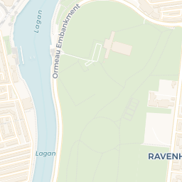
02 — Environment
Environment & risk near BT1 5GS.
Official risk flags for context — deliberately not part of the NestScope score (they’re categorical hazards, not amenities). Flood zones, air quality & noise explained.
03 — House prices
Sold prices in BT1.
Average sold price by property type across the BT1 district, 2021–2026.
About BT1 5GS
BT1 5GS scores 93/100 on the NestScope Score, with its strongest showing in schools and local amenities — with The Royal Belfast Academical Institution 0.3 mi away. The breakdown below draws on official UK data covering schools, safety, healthcare, transport, environment and local amenities.
BT1 5GS sits outside England, so the national deprivation backbone (IMD) that anchors the NestScope Score isn't available — the figures below are based on local amenities only.
There are 93 schools within the typical catchment area. The nearest school is The Royal Belfast Academical Institution, 0.3 mi away.
There were 312 crimes reported on the surrounding streets in the most recent month, indicating a high level of immediate-area crime.
Healthcare access is good, with 33 GP surgeries and 2 hospitals in the wider neighbourhood. The nearest GP practice is Dr. CROSSIN & PARTNERS, 0.5 mi away. The nearest hospital is ROYAL VICTORIA HOSPITAL, 1.0 mi away.