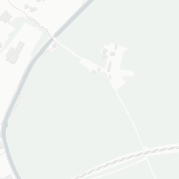
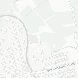
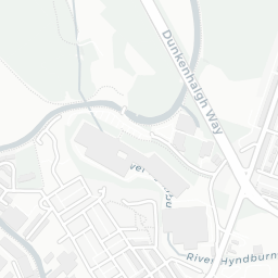

About BB1 4HT
BB1 4HT scores 60/100 on the NestScope Score, with its strongest showing in local amenities and transport — with Co-op Rishton - Harwood Road about 3 minutes' walk away. The breakdown below draws on official UK data covering schools, safety, healthcare, transport, environment and local amenities.
In national context, BB1 4HT is a mixed, mid-ranking neighbourhood — IMD decile 4/10, ranked 10,207 of 32,844 neighbourhoods in England. The Index of Multiple Deprivation is the UK government's official measure of relative deprivation, refreshed roughly every five years. Housing pressure here is low (IMD housing decile 10/10).
There are 33 schools within the typical catchment area, including 22 rated Good. The nearest school is St Charles' Roman Catholic Primary School, a Voluntary Academy, within a short walk.
Healthcare access is available, with 1 GP surgery and 3 dental practices in the wider neighbourhood. The nearest GP practice is THE WEAVERS PRACTICE, about 4 minutes' walk away. A pharmacy is about 3 minutes' walk away.
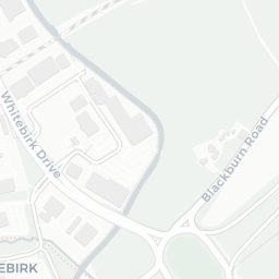
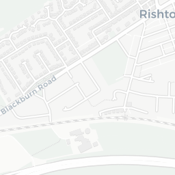
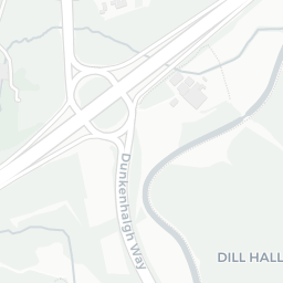
The nearest rail stations are Rishton Rail Station (Train, about 4 minutes' walk away). There are also 13 bus stops within walking distance.
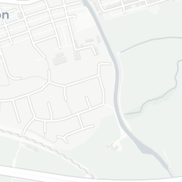
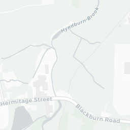
The location is in Flood Zone 1 (low risk — less than a 1 in 1,000 annual chance of river or sea flooding). road traffic noise is moderate (about 56 dB Lden).
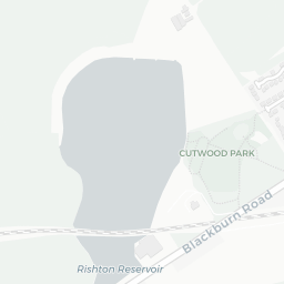
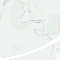
There are 15 green spaces within walking distance, totalling 9.5 hectares of parks and outdoor space. The nearest is Playing Field (1.7 ha), about 3 minutes' walk away.
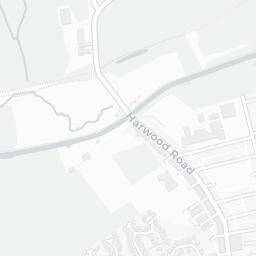
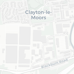
There are 14 supermarkets in the wider area, including The Co-operative Group, Iceland, Farmfoods, Spar and others. The nearest is Co-op Rishton - Harwood Road, about 3 minutes' walk away. A public library is about 3 minutes' walk away.
Sources: DfE/Ofsted, UK Police API, NHS ODS, NaPTAN, Environment Agency, Ordnance Survey, Natural England, DEFRA, Geolytix and Arts Council England. For an interactive map view, explore BB1 4HT on NestScope.