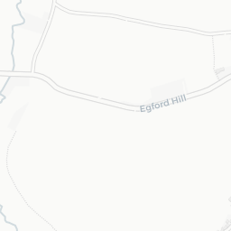
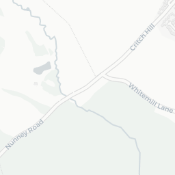
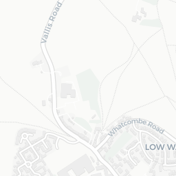
About BA11 1QG
BA11 1QG scores 57/100 on the NestScope Score, with its strongest showing in local amenities and healthcare — with Lidl Keyford Frome about 2 minutes' walk away. The breakdown below draws on official UK data covering schools, safety, healthcare, transport, environment and local amenities.
In national context, BA11 1QG is a mixed, mid-ranking neighbourhood — IMD decile 4/10, ranked 10,564 of 32,844 neighbourhoods in England. The Index of Multiple Deprivation is the UK government's official measure of relative deprivation, refreshed roughly every five years. Housing pressure here is low (IMD housing decile 9/10).
There are 14 schools within the typical catchment area, including 5 rated Good. The nearest school is St John's Church of England Voluntary Aided First School, Frome (Ofsted: Requires Improvement), within a short walk.
There were 52 crimes reported on the surrounding streets in the most recent month, indicating a elevated level of immediate-area crime.
Healthcare access is good, with 3 GP surgeries, 2 hospitals and 5 dental practices in the wider neighbourhood. The nearest GP practice is PES@SPECSAVERS FROME BSW CCG, about 5 minutes' walk away. The nearest hospital is CHANTRY HOUSE DAY HOSPITAL, about 10 minutes' walk away. A pharmacy is about 4 minutes' walk away.
The nearest rail stations are Frome Rail Station (Train, about 8 minutes' walk away). There are also 38 bus stops within walking distance.
The location is in Flood Zone 1 (low risk — less than a 1 in 1,000 annual chance of river or sea flooding). road traffic noise is moderate (about 64 dB Lden).
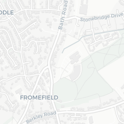
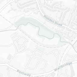
There are 21 green spaces within walking distance, totalling 15 hectares of parks and outdoor space. The nearest is Allotments (900 m²), within a short walk.
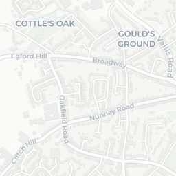
There are 13 supermarkets in the wider area, including Lidl, Marks and Spencer, Iceland, The Southern Co-operative and others. The nearest is Lidl Keyford Frome, about 2 minutes' walk away. A public library is about 5 minutes' walk away.
Sources: DfE/Ofsted, UK Police API, NHS ODS, NaPTAN, Environment Agency, Ordnance Survey, Natural England, DEFRA, Geolytix and Arts Council England. For an interactive map view, explore BA11 1QG on NestScope.