


About BA1 1AG
BA1 1AG scores 55/100 on the NestScope Score, with its strongest showing in local amenities and transport — with Tesco Bath Westgate Building Express within a short walk. The main trade-off is its safety score. The breakdown below draws on official UK data covering schools, safety, healthcare, transport, environment and local amenities.
In national context, BA1 1AG is a mixed, mid-ranking neighbourhood — IMD decile 3/10, ranked 9,836 of 32,844 neighbourhoods in England. The Index of Multiple Deprivation is the UK government's official measure of relative deprivation, refreshed roughly every five years. Housing pressure here is moderate (IMD housing decile 7/10).
There are 39 schools within the typical catchment area, including 25 rated Good. The nearest school is Bath College, within a short walk.
Healthcare access is good, with 15 GP surgeries, 2 hospitals and 24 dental practices in the wider neighbourhood. The nearest GP practice is PES@SPECSAVERS BATH BSW CCG, within a short walk. The nearest hospital is BATH MINERAL HOSPITAL, about 3 minutes' walk away. A pharmacy is within a short walk.
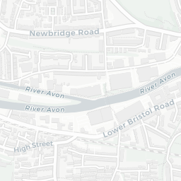
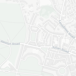
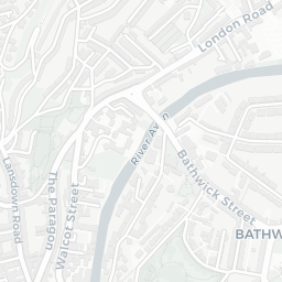
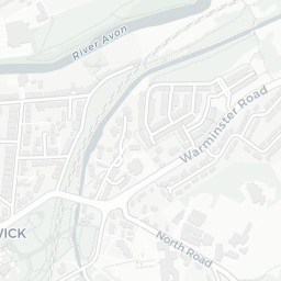
The nearest rail stations are Bath Spa Rail Station (Train, about 6 minutes' walk away). There are also 61 bus stops within walking distance.
The location sits in Flood Zone 2 (medium risk — between a 1 in 100 and 1 in 1,000 annual chance), which may affect insurance and mortgage availability. road traffic noise is low (about 54 dB Lden).
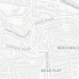
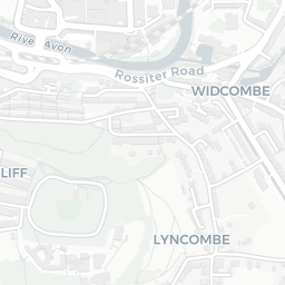
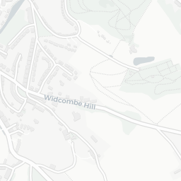
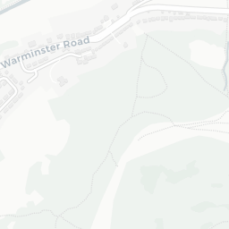
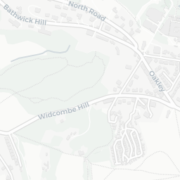
There are 18 green spaces within walking distance, totalling 23.7 hectares of parks and outdoor space. The nearest is Thermae Bath Spa, within a short walk. It also lies just beside a AONB (about 12 minutes' walk away), adding open countryside that isn't recorded as a formal park.
There are 35 supermarkets in the wider area, including Tesco, Sainsburys, Marks and Spencer, Morrisons and others. The nearest is Tesco Bath Westgate Building Express, within a short walk. A public library is about 6 minutes' walk away.
Sources: DfE/Ofsted, UK Police API, NHS ODS, NaPTAN, Environment Agency, Ordnance Survey, Natural England, DEFRA, Geolytix and Arts Council England. For an interactive map view, explore BA1 1AG on NestScope.