
About B9 4BF
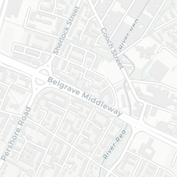
B9 4BF scores 43/100 on the NestScope Score, with its strongest showing in local amenities and healthcare — with Spar - Upper Dean Street about 9 minutes' walk away. The main trade-off is its safety score. The breakdown below draws on official UK data covering schools, safety, healthcare, transport, environment and local amenities.
In national context, B9 4BF is a more affordable, lower-income neighbourhood — IMD decile 1/10, ranked 1,571 of 32,844 neighbourhoods in England. The Index of Multiple Deprivation is the UK government's official measure of relative deprivation, refreshed roughly every five years. Housing pressure here is high (IMD housing decile 1/10).
There are 122 schools within the typical catchment area, including 14 rated Outstanding by Ofsted and 50 rated Good. The nearest school is South and City College Birmingham, within a short walk.
There were 88 crimes reported on the surrounding streets in the most recent month, indicating a high level of immediate-area crime.
Healthcare access is good, with 44 GP surgeries, 2 hospitals and 22 dental practices in the wider neighbourhood. The nearest GP practice is BABYLON GP AT HAND BIRMINGHAM, about 6 minutes' walk away. The nearest hospital is BIRMINGHAM CHILDRENS HOSPITAL, 0.8 mi away. A pharmacy is about 10 minutes' walk away.
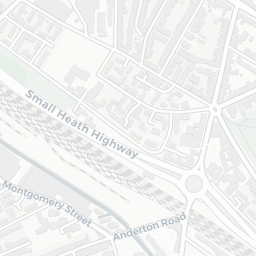
The nearest rail stations are Bordesley Rail Station (Train, about 7 minutes' walk away), Birmingham Moor Street Rail Station (Train, about 9 minutes' walk away), Digbeth High Street (West Midlands Metro) (Tube/Metro, about 3 minutes' walk away), Meriden Street (West Midlands Metro) (Tube/Metro, about 6 minutes' walk away), Curzon Street (West Midlands Metro) (Tube/Metro, about 8 minutes' walk away). There are also 53 bus stops within walking distance.
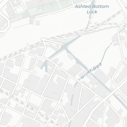
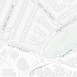
The location sits in Flood Zone 3 (high risk — between a 1 in 100 and 1 in 200 annual chance of river or sea flooding), which may affect insurance and mortgage availability. road traffic noise is moderate (about 59 dB Lden), and rail noise is moderate (about 55 dB Lden).
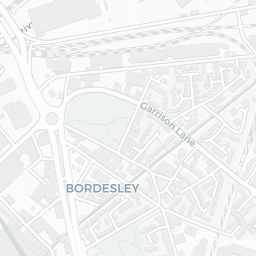
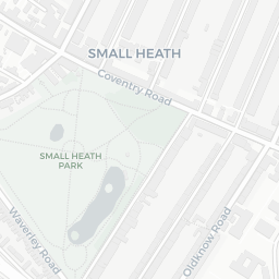
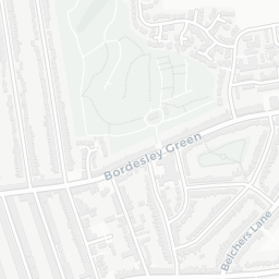
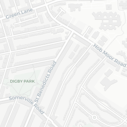
There are 9 green spaces within walking distance, totalling 8.2 hectares of parks and outdoor space. The nearest is Snowhill Snooker Club, about 5 minutes' walk away.
There are 52 supermarkets in the wider area, including Spar, Marks and Spencer, Budgens, Tesco and others. The nearest is Spar - Upper Dean Street, about 9 minutes' walk away. A public library is 1.1 mi away.
Sources: DfE/Ofsted, UK Police API, NHS ODS, NaPTAN, Environment Agency, Ordnance Survey, Natural England, DEFRA, Geolytix and Arts Council England. For an interactive map view, explore B9 4BF on NestScope.