Area Report
Last updated 03 JUL 2026Neighbourhood Report
What's nearby — across walking, short-drive and school catchment distance. Data from official UK government sources.
01 — Snapshot
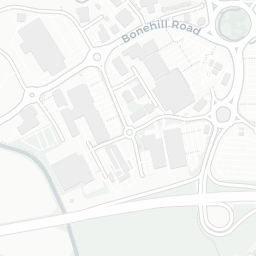
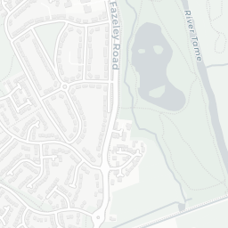
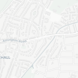
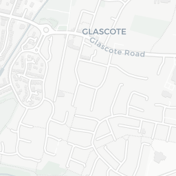
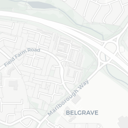
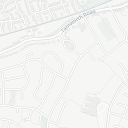
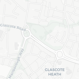
Around B77 9JF.
The large figure is how many we found nearby; the chip beside each label is that category’s NestScope score out of 100 — higher beats more of the UK.
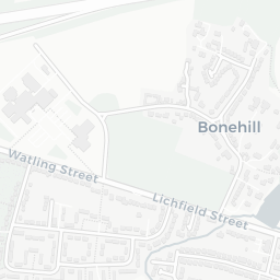
9Good/Outstanding within 1 mi
25 rated Good or better within 2 mi · 38 schools in total
Nearest top-rated: William MacGregor Primary School (Good) — 0.1 mi
—
IMD crime decile 6/10 · live count unavailable
Data temporarily unavailable
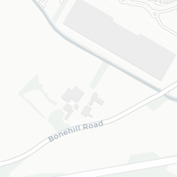
12GP & hospitals
IMD health decile 5/10 · 12 GP, 6 dentists, pharmacy 0.6 mi within 1.5 mi
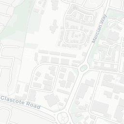
Nearest GP: LAUREL HOUSE SURGERY — 0.7 mi
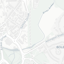
No rail stations within 0.5 miles · 18 bus stops nearby
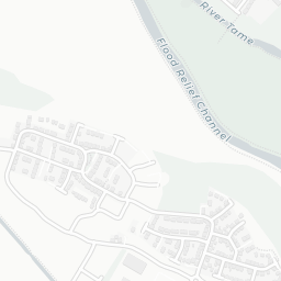
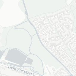
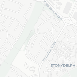
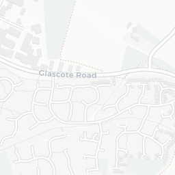
14green spaces
IMD environment decile 9/10 · 22.3 ha total — largest park 6.1 ha (0.15 mi away)
Nearest: MacGregor Recreation Ground — 0.1 mi
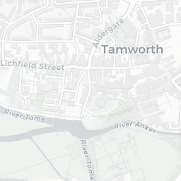
29supermarkets
29 supermarkets within 2 mi — Budgens, Tamworth Co-operative Society, Lidl, Aldi… — nearest 0.2 mi — library 0.6 mi
Nearest: Budgens Tamworth — 0.2 mi
02 — Environment
Environment & risk near B77 9JF.
Official risk flags for context — deliberately not part of the NestScope score (they’re categorical hazards, not amenities). Flood zones, air quality & noise explained.
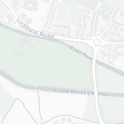
Flood risk
Zone 1 (low)
Flood Zone 1 — low risk (less than 1 in 1,000 annual chance) · Source: Environment Agency Flood Map for Planning
Air qualityLow
10.2µg/m³
NO₂ annual mean · WHO guideline 10 · UK limit 40 · Source: DEFRA UK-AIR 2024
Road noiseQuiet
51dB Lden
Road traffic, day-evening-night average · Source: DEFRA strategic noise mapping
Rail noiseModerate
62dB Lden
Railways, day-evening-night average · Source: DEFRA strategic noise mapping
03 — House prices
Sold prices in B77.
Average sold price by property type across the B77 district, 2021–2026 — 4,671 sales.
About B77 9JF
B77 9JF scores 82/100 on the NestScope Score, with its strongest showing in local amenities and green space — with Budgens Tamworth about 3 minutes' walk away. The breakdown below draws on official UK data covering schools, safety, healthcare, transport, environment and local amenities.
In national context, B77 9JF is a well-off neighbourhood — IMD decile 8/10, ranked 24,096 of 32,844 neighbourhoods in England. The Index of Multiple Deprivation is the UK government's official measure of relative deprivation, refreshed roughly every five years. Housing pressure here is low (IMD housing decile 8/10).
There are 38 schools within the typical catchment area, including 2 rated Outstanding by Ofsted and 23 rated Good. The nearest school is William MacGregor Primary School (Ofsted: Good), about 3 minutes' walk away.
Healthcare access is good, with 12 GP surgeries and 6 dental practices in the wider neighbourhood. The nearest GP practice is LAUREL HOUSE SURGERY, about 13 minutes' walk away. A pharmacy is about 12 minutes' walk away.
There are no train or Tube stations near B77 9JF. Bus services provide the main public transport, with 18 bus stops in the immediate area.