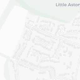
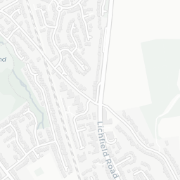
About B74 4LD
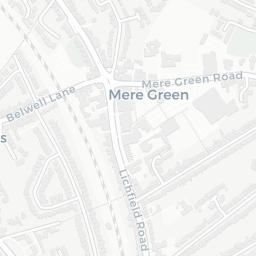
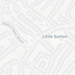
B74 4LD scores 69/100 on the NestScope Score, with its strongest showing in local amenities and schools — with Co-op Clarence Road Sutton Coldfield about 7 minutes' walk away. The breakdown below draws on official UK data covering schools, safety, healthcare, transport, environment and local amenities.
In national context, B74 4LD is an above-average neighbourhood — IMD decile 5/10, ranked 15,161 of 32,844 neighbourhoods in England. The Index of Multiple Deprivation is the UK government's official measure of relative deprivation, refreshed roughly every five years. Housing pressure here is high (IMD housing decile 2/10).
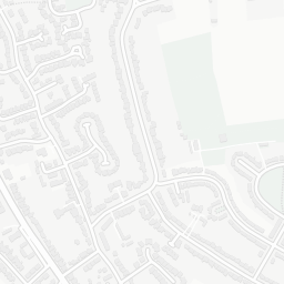
There are 11 schools within the typical catchment area, including 1 rated Outstanding by Ofsted and 5 rated Good. The nearest school is Hill West Primary School (Ofsted: Good), within a short walk.
There were 4 crimes reported on the surrounding streets in the most recent month, indicating a very low level of immediate-area crime.
Healthcare access is available, with 1 GP surgery, 1 hospital and 8 dental practices in the wider neighbourhood. The nearest GP practice is AQP ANTICOAG LEY HILL SURGERY, 1.1 mi away. The nearest hospital is SPIRE LITTLE ASTON HOSPITAL, 1.4 mi away. A pharmacy is 0.8 mi away.
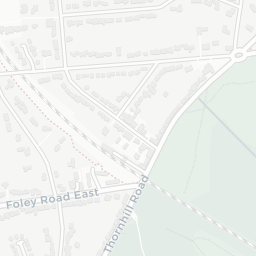
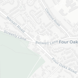
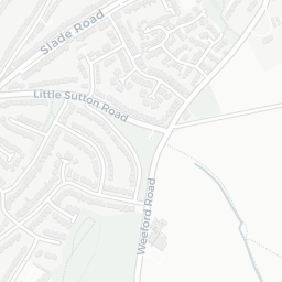
The nearest rail stations are Butlers Lane Rail Station (Train, about 6 minutes' walk away). There are also 28 bus stops within walking distance.
The location is in Flood Zone 1 (low risk — less than a 1 in 1,000 annual chance of river or sea flooding).
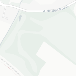
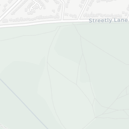
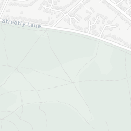
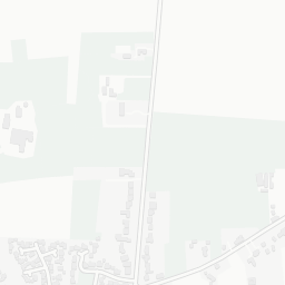
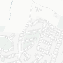
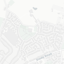
There are 5 green spaces within walking distance, totalling 9.8 hectares of parks and outdoor space. The nearest is Four Oaks Common Allotments and Horticultural Association, about 3 minutes' walk away. It also lies just beside a nature reserve (about 4 minutes' walk away), adding open countryside that isn't recorded as a formal park.
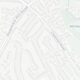
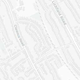
There are 11 supermarkets in the wider area, including The Co-operative Group, Tesco, Sainsburys, Aldi and others. The nearest is Co-op Clarence Road Sutton Coldfield, about 7 minutes' walk away. A public library is 0.9 mi away.
Sources: DfE/Ofsted, UK Police API, NHS ODS, NaPTAN, Environment Agency, Ordnance Survey, Natural England, DEFRA, Geolytix and Arts Council England. For an interactive map view, explore B74 4LD on NestScope.