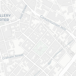
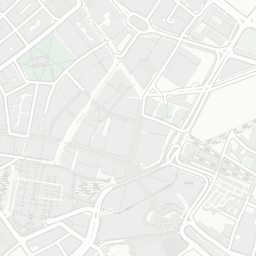
NestScope
B7 4EU · Neighbourhood Report
© OpenStreetMap · © CARTO
Area Report
Last updated 15 JUN 2026

B7 4EU

Neighbourhood Report

What's nearby — across walking, short-drive and school catchment distance. Data from official UK government sources.

NestScope Score
54/ 100

A mixed, mid-ranking neighbourhood

Anchored on official IMD data — decile 3/10, ranked 9,761 of 32,844 neighbourhoods in England.

How this score is calculated
01 — Snapshot

Around B7 4EU.

The large figure is how many we found nearby; the chip beside each label is that category’s NestScope score out of 100 — higher beats more of the UK.

Schools60/100
11Good/Outstanding within 1 mi

66 rated Good or better within 2 mi · 120 schools in total

Nearest top-rated: St Vincent's Catholic Primary School (Good) — 0.1 mi

Safety32/100

IMD crime decile 2/10 · live count unavailable

Data temporarily unavailable

Healthcare70/100
45GP & hospitals

IMD health decile 2/10 · 43 GP, 2 hospitals, 9 dentists, pharmacy 0.6 mi within 1.5 mi

Nearest GP: BSOL SPOA — 0.4 mi

Transport93/100
Duddeston Rail Station0.4 mi
Curzon Street (West Midlands Metro)0.5 mi

35 bus stops also within 0.5 miles

Green space53/100
11green spaces

IMD environment decile 1/10 · 10.6 ha total — no proper park nearby

Nearest: Religious Grounds (0.31 ha) — 0.1 mi

Amenities87/100
50supermarkets

50 supermarkets within 2 mi — The Co-operative Group, Tesco, Asda, Sainsburys… — nearest 0.1 mi — library 0.6 mi

Nearest: Co-op Birmingham - University Locks — 0.1 mi

02 — Environment

Environment & risk near B7 4EU.

Official risk flags for context — deliberately not part of the NestScope score (they’re categorical hazards, not amenities).

Flood risk
Zone 1 (low)

Flood Zone 1 — low risk (less than 1 in 1,000 annual chance) · Source: Environment Agency Flood Map for Planning

Zone 1
Zone 2
Zone 3
Air qualityLow
19.6µg/m³

NO₂ annual mean · WHO guideline 10 · UK limit 40 · Source: DEFRA UK-AIR 2024

<10
10–20
20–30
30–40
≥40
03 — House prices

Sold prices in B7.

Average sold price by property type across the B7 district, 20212026115 sales.

£0£100k£200k£300k202120222023202420252026
  • Detached
  • Semi-detached
  • Terraced
  • Flat
Detached
Semi-detached£138k
Terraced£193k 28.5%
Flat£115k 43.6%

District-level averages (B7) — broad enough to show a reliable trend. A single postcode usually sees too few sales to chart. Source: HM Land Registry Price Paid Data (Crown Copyright / OGL v3.0).

About B7 4EU

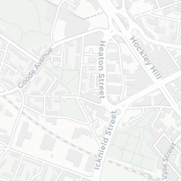
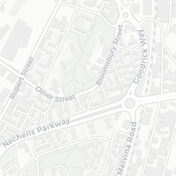
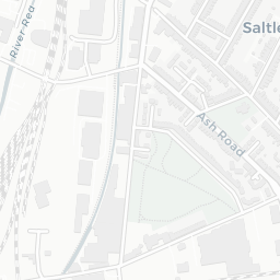
B7 4EU scores 54/100 on the NestScope Score, with its strongest showing in transport and local amenities — with Duddeston Rail Station about 8 minutes' walk away. The main trade-off is its safety score. The breakdown below draws on official UK data covering schools, safety, healthcare, transport, environment and local amenities.

In national context, B7 4EU is a mixed, mid-ranking neighbourhood — IMD decile 3/10, ranked 9,761 of 32,844 neighbourhoods in England. The Index of Multiple Deprivation is the UK government's official measure of relative deprivation, refreshed roughly every five years. Housing pressure here is high (IMD housing decile 3/10).

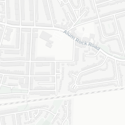
There are 120 schools within the typical catchment area, including 14 rated Outstanding by Ofsted and 52 rated Good. The nearest school is BOA Digital Technologies Academy, within a short walk.

Healthcare access is good, with 43 GP surgeries, 2 hospitals and 9 dental practices in the wider neighbourhood. The nearest GP practice is BSOL SPOA, about 7 minutes' walk away. The nearest hospital is BIRMINGHAM CHILDRENS HOSPITAL, about 12 minutes' walk away. A pharmacy is about 11 minutes' walk away.

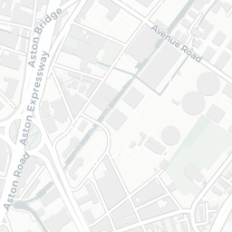
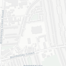
The nearest rail stations are Duddeston Rail Station (Train, about 8 minutes' walk away), Curzon Street (West Midlands Metro) (Tube/Metro, about 9 minutes' walk away). There are also 35 bus stops within walking distance.

The location is in Flood Zone 1 (low risk — less than a 1 in 1,000 annual chance of river or sea flooding).

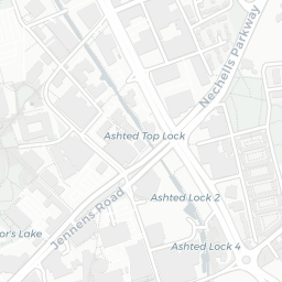
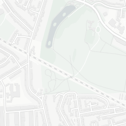
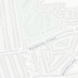
There are 11 green spaces within walking distance, totalling 10.6 hectares of parks and outdoor space. The nearest is Religious Grounds (0.31 ha), within a short walk.

There are 50 supermarkets in the wider area, including The Co-operative Group, Tesco, Asda, Sainsburys and others. The nearest is Co-op Birmingham - University Locks, about 3 minutes' walk away. A public library is about 12 minutes' walk away.

Sources: DfE/Ofsted, UK Police API, NHS ODS, NaPTAN, Environment Agency, Ordnance Survey, Natural England, DEFRA, Geolytix and Arts Council England. For an interactive map view, explore B7 4EU on NestScope.

Explore area insights about nearby locations

Data: DfE/Ofsted · UK Police API · NHS ODS · NaPTAN · Ordnance Survey · Geolytix. Crown Copyright / OGL. Look up any postcode: nestscope.uk/area/YOUR+POSTCODE — e.g. SW1A 1AA, M1 1AE, BS1 1HT.