NestScope
B66 1BA · Neighbourhood Report
© OpenStreetMap · © CARTO
Area Report
Last updated 16 JUN 2026

B66 1BA

Neighbourhood Report

What's nearby — across walking, short-drive and school catchment distance. Data from official UK government sources.

NestScope Score
48/ 100

A more affordable, lower-income neighbourhood

Anchored on official IMD data — decile 2/10, ranked 4,078 of 32,844 neighbourhoods in England.

How this score is calculated
01 — Snapshot

Around B66 1BA.

The large figure is how many we found nearby; the chip beside each label is that category’s NestScope score out of 100 — higher beats more of the UK.

Safety46/100
9crimes last month

IMD crime decile 2/10 · 9 crimes in 400m last month (residential-weighted: 5.7)

Crimes reported last month · UK Police API

Healthcare70/100
23GP & hospitals

IMD health decile 2/10 · 22 GP, 1 hospital, 16 dentists, pharmacy 0.3 mi within 1.5 mi

Nearest GP: HAWTHORNS MEDICAL CENTRE — 0.1 mi

Transport77/100
Smethwick Rolfe Street Rail Station0.3 mi
The Hawthorns Rail Station0.4 mi
Smethwick Galton Bridge Rail Station0.5 mi
The Hawthorns (West Midlands Metro)0.4 mi

37 bus stops also within 0.5 miles

Green space61/100
10green spaces

IMD environment decile 4/10 · 10.3 ha total — no proper park nearby

Nearest: Lewisham Park — 0.1 mi

Amenities79/100
20supermarkets

20 supermarkets within 2 mi — Spar, Farmfoods, Asda, Iceland… — nearest 0.7 mi — library 0.3 mi

Nearest: Spar - Hawthornes — 0.7 mi

02 — Environment

Environment & risk near B66 1BA.

Official risk flags for context — deliberately not part of the NestScope score (they’re categorical hazards, not amenities).

Flood risk
Zone 1 (low)

Flood Zone 1 — low risk (less than 1 in 1,000 annual chance) · Source: Environment Agency Flood Map for Planning

Zone 1
Zone 2
Zone 3
Air qualityLow
15.9µg/m³

NO₂ annual mean · WHO guideline 10 · UK limit 40 · Source: DEFRA UK-AIR 2024

<10
10–20
20–30
30–40
≥40
Road noiseModerate
57dB Lden

Road traffic, day-evening-night average · Source: DEFRA strategic noise mapping

<55
55–64
65–74
≥75
03 — House prices

Sold prices in B66.

Average sold price by property type across the B66 district, 20212026834 sales.

£0£100k£200k£300k£400k202120222023202420252026
  • Detached
  • Semi-detached
  • Terraced
  • Flat
Detached£346k 33.2%
Semi-detached£249k 25.0%
Terraced£179k 12.1%
Flat£101k 0.4%

District-level averages (B66) — broad enough to show a reliable trend. A single postcode usually sees too few sales to chart. Source: HM Land Registry Price Paid Data (Crown Copyright / OGL v3.0).

About B66 1BA

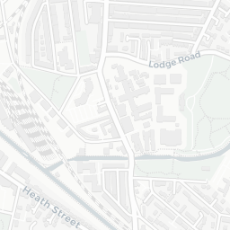
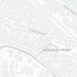
B66 1BA scores 48/100 on the NestScope Score, with its strongest showing in local amenities and transport — with Spar - Hawthornes about 14 minutes' walk away. The breakdown below draws on official UK data covering schools, safety, healthcare, transport, environment and local amenities.

In national context, B66 1BA is a more affordable, lower-income neighbourhood — IMD decile 2/10, ranked 4,078 of 32,844 neighbourhoods in England. The Index of Multiple Deprivation is the UK government's official measure of relative deprivation, refreshed roughly every five years. Housing pressure here is high (IMD housing decile 3/10).

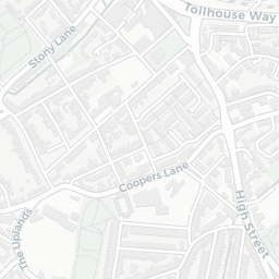
There are 70 schools within the typical catchment area, including 6 rated Outstanding by Ofsted and 32 rated Good. The nearest school is Galton Valley Primary School (Ofsted: Good), within a short walk.

There were 9 crimes reported on the surrounding streets in the most recent month, indicating a low level of immediate-area crime.

Healthcare access is good, with 22 GP surgeries, 1 hospital and 16 dental practices in the wider neighbourhood. The nearest GP practice is HAWTHORNS MEDICAL CENTRE, about 2 minutes' walk away. The nearest hospital is MIDLAND METROPOLITAN UNIVERSITY HOSPITAL, 1.1 mi away. A pharmacy is about 6 minutes' walk away.

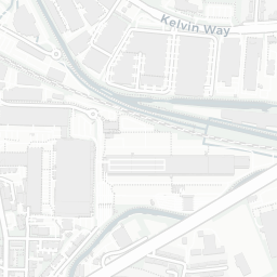
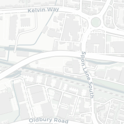
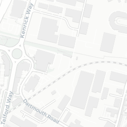
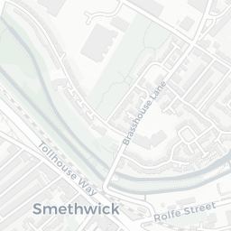
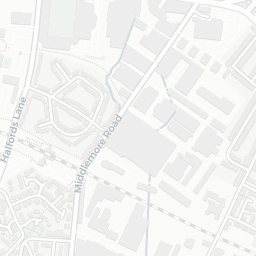
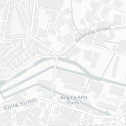
The nearest rail stations are Smethwick Rolfe Street Rail Station (Train, about 6 minutes' walk away), The Hawthorns Rail Station (Train, about 8 minutes' walk away), Smethwick Galton Bridge Rail Station (Train, about 9 minutes' walk away), The Hawthorns (West Midlands Metro) (Tube/Metro, about 8 minutes' walk away). There are also 37 bus stops within walking distance.

The location is in Flood Zone 1 (low risk — less than a 1 in 1,000 annual chance of river or sea flooding). road traffic noise is moderate (about 57 dB Lden).

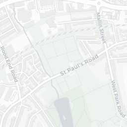
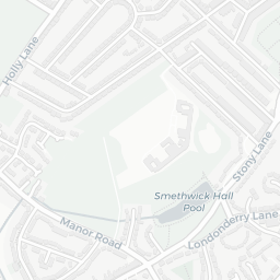
There are 10 green spaces within walking distance, totalling 10.3 hectares of parks and outdoor space. The nearest is Lewisham Park, within a short walk.

There are 20 supermarkets in the wider area, including Spar, Farmfoods, Asda, Iceland and others. The nearest is Spar - Hawthornes, about 14 minutes' walk away. A public library is about 6 minutes' walk away.

Sources: DfE/Ofsted, UK Police API, NHS ODS, NaPTAN, Environment Agency, Ordnance Survey, Natural England, DEFRA, Geolytix and Arts Council England. For an interactive map view, explore B66 1BA on NestScope.

Explore area insights about nearby locations

Data: DfE/Ofsted · UK Police API · NHS ODS · NaPTAN · Ordnance Survey · Geolytix. Crown Copyright / OGL. Look up any postcode: nestscope.uk/area/YOUR+POSTCODE — e.g. SW1A 1AA, M1 1AE, BS1 1HT.