About B27 6LQ
B27 6LQ scores 56/100 on the NestScope Score, with its strongest showing in local amenities and transport — with Iceland Acocks Green about 7 minutes' walk away. The breakdown below draws on official UK data covering schools, safety, healthcare, transport, environment and local amenities.
In national context, B27 6LQ is a mixed, mid-ranking neighbourhood — IMD decile 3/10, ranked 7,809 of 32,844 neighbourhoods in England. The Index of Multiple Deprivation is the UK government's official measure of relative deprivation, refreshed roughly every five years. Housing pressure here is high (IMD housing decile 3/10).
There are 70 schools within the typical catchment area, including 4 rated Outstanding by Ofsted and 48 rated Good. The nearest school is Cottesbrooke Infant and Nursery School (Ofsted: Good), about 2 minutes' walk away.
There were 45 crimes reported on the surrounding streets in the most recent month, indicating a elevated level of immediate-area crime.
Healthcare access is good, with 17 GP surgeries, 1 hospital and 14 dental practices in the wider neighbourhood. The nearest GP practice is ACOCKS GREEN MEDICAL CENTRE, about 2 minutes' walk away. The nearest hospital is LYNDON DAY HOSPITAL & SOUTH RESOURCE CENTRE, 1.5 mi away. A pharmacy is about 2 minutes' walk away.
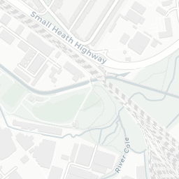
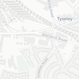
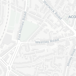
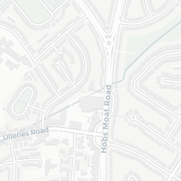
The nearest rail stations are Acocks Green Rail Station (Train, about 2 minutes' walk away). There are also 32 bus stops within walking distance.
The location is in Flood Zone 1 (low risk — less than a 1 in 1,000 annual chance of river or sea flooding). road traffic noise is low (about 52 dB Lden).
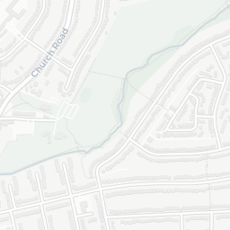
There are 8 green spaces within walking distance, totalling 12.8 hectares of parks and outdoor space. The nearest is Westley Vale Millennium Green, about 4 minutes' walk away.
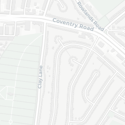
There are 37 supermarkets in the wider area, including Iceland, Morrisons, Farmfoods, Aldi and others. The nearest is Iceland Acocks Green, about 7 minutes' walk away. A public library is about 9 minutes' walk away.
Sources: DfE/Ofsted, UK Police API, NHS ODS, NaPTAN, Environment Agency, Ordnance Survey, Natural England, DEFRA, Geolytix and Arts Council England. For an interactive map view, explore B27 6LQ on NestScope.