NestScope
B23 5BA · Neighbourhood Report
© OpenStreetMap · © CARTO
Area Report
Last updated 16 JUN 2026

B23 5BA

Neighbourhood Report

What's nearby — across walking, short-drive and school catchment distance. Data from official UK government sources.

NestScope Score
45/ 100

A more affordable, lower-income neighbourhood

Anchored on official IMD data — decile 1/10, ranked 2,535 of 32,844 neighbourhoods in England.

How this score is calculated
01 — Snapshot

Around B23 5BA.

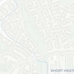
The large figure is how many we found nearby; the chip beside each label is that category’s NestScope score out of 100 — higher beats more of the UK.

Schools52/100
13Good/Outstanding within 1 mi

47 rated Good or better within 2 mi · 63 schools in total

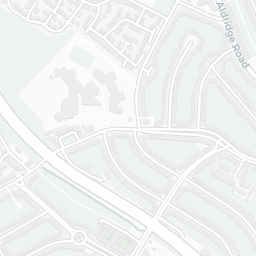
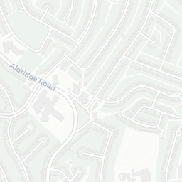
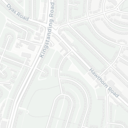
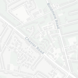
Nearest top-rated: Oasis Academy Short Heath (Good) — 0.3 mi

Safety40/100
19crimes last month

IMD crime decile 2/10 · 19 crimes in 400m last month (residential-weighted: 16.3)

Crimes reported last month · UK Police API

Healthcare70/100
26GP & hospitals

IMD health decile 1/10 · 25 GP, 1 hospital, 11 dentists, pharmacy 0.1 mi within 1.5 mi

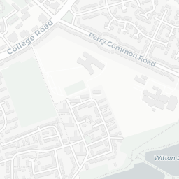
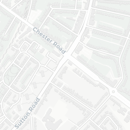
Nearest GP: AQP ANTICOAG SOUTH DOC THE DOVE MC — 0.1 mi

Transport64/100

No rail stations within 0.5 miles · 46 bus stops nearby

Green space66/100
12green spaces

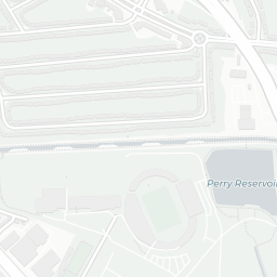
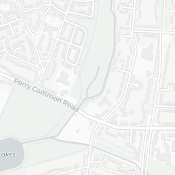
IMD environment decile 3/10 · 39.2 ha total — no proper park nearby

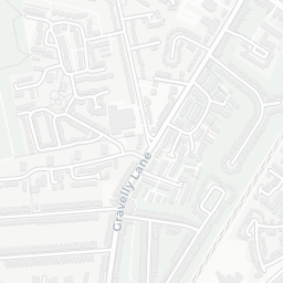
Nearest: The Ring — 0.1 mi

Amenities87/100
27supermarkets

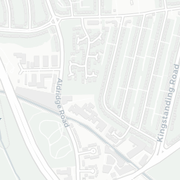
27 supermarkets within 2 mi — Aldi, Morrisons, Central England Co-operative, Lidl… — nearest 0.4 mi — library 0.5 mi

Nearest: Aldi Kingstanding Birmingham — 0.4 mi

02 — Environment

Environment & risk near B23 5BA.

Official risk flags for context — deliberately not part of the NestScope score (they’re categorical hazards, not amenities).

Flood risk
Zone 1 (low)

Flood Zone 1 — low risk (less than 1 in 1,000 annual chance) · Source: Environment Agency Flood Map for Planning

Zone 1
Zone 2
Zone 3
Air qualityLow
14.5µg/m³

NO₂ annual mean · WHO guideline 10 · UK limit 40 · Source: DEFRA UK-AIR 2024

<10
10–20
20–30
30–40
≥40
Road noiseQuiet
54dB Lden

Road traffic, day-evening-night average · Source: DEFRA strategic noise mapping

<55
55–64
65–74
≥75
03 — House prices

Sold prices in B23.

Average sold price by property type across the B23 district, 202120263,134 sales.

£0£100k£200k£300k202120222023202420252026
  • Detached
  • Semi-detached
  • Terraced
  • Flat
Detached£252k 7.2%
Semi-detached£206k 4.6%
Terraced£193k 8.1%
Flat£108k 1.8%

District-level averages (B23) — broad enough to show a reliable trend. A single postcode usually sees too few sales to chart. Source: HM Land Registry Price Paid Data (Crown Copyright / OGL v3.0).

About B23 5BA

B23 5BA scores 45/100 on the NestScope Score, with its strongest showing in local amenities and healthcare — with Aldi Kingstanding Birmingham about 8 minutes' walk away. The main trade-off is its safety score. The breakdown below draws on official UK data covering schools, safety, healthcare, transport, environment and local amenities.

Explore area insights about nearby locations

Data: DfE/Ofsted · UK Police API · NHS ODS · NaPTAN · Ordnance Survey · Geolytix. Crown Copyright / OGL. Look up any postcode: nestscope.uk/area/YOUR+POSTCODE — e.g. SW1A 1AA, M1 1AE, BS1 1HT.