About B19 3XD
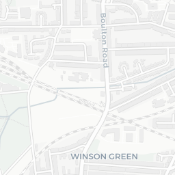
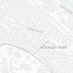
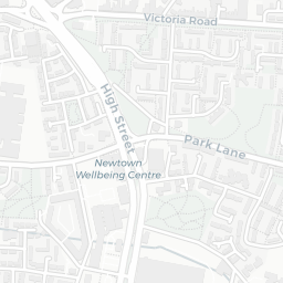
B19 3XD scores 45/100 on the NestScope Score, with its strongest showing in local amenities and transport — with Morrisons Select Summer Lane about 2 minutes' walk away. The main trade-off is its safety score. The breakdown below draws on official UK data covering schools, safety, healthcare, transport, environment and local amenities.
In national context, B19 3XD is a more affordable, lower-income neighbourhood — IMD decile 1/10, ranked 2,465 of 32,844 neighbourhoods in England. The Index of Multiple Deprivation is the UK government's official measure of relative deprivation, refreshed roughly every five years. Housing pressure here is high (IMD housing decile 2/10).
There are 109 schools within the typical catchment area, including 9 rated Outstanding by Ofsted and 49 rated Good. The nearest school is St Chad's Catholic Primary School (Ofsted: Good), within a short walk.
There were 38 crimes reported on the surrounding streets in the most recent month, indicating a elevated level of immediate-area crime.
Healthcare access is good, with 37 GP surgeries, 3 hospitals and 21 dental practices in the wider neighbourhood. The nearest GP practice is SUMMERHILL MEDICAL UNIT, about 9 minutes' walk away. The nearest hospital is BIRMINGHAM CHILDREN'S HOSPITAL, about 12 minutes' walk away. A pharmacy is about 12 minutes' walk away.
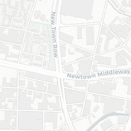
The nearest rail stations are St Paul's (West Midlands Metro) (Tube/Metro, about 8 minutes' walk away). There are also 39 bus stops within walking distance.
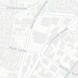
The location is in Flood Zone 1 (low risk — less than a 1 in 1,000 annual chance of river or sea flooding). road traffic noise is moderate (about 62 dB Lden).
There are 19 green spaces within walking distance, totalling 17.1 hectares of parks and outdoor space. The nearest is Park (1.4 ha), about 3 minutes' walk away.
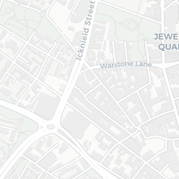
There are 48 supermarkets in the wider area, including Morrisons, Aldi, Farmfoods, Tesco and others. The nearest is Morrisons Select Summer Lane, about 2 minutes' walk away. A public library is 0.9 mi away.
Sources: DfE/Ofsted, UK Police API, NHS ODS, NaPTAN, Environment Agency, Ordnance Survey, Natural England, DEFRA, Geolytix and Arts Council England. For an interactive map view, explore B19 3XD on NestScope.