Nearest top-rated: St Catherine of Siena Catholic Primary School (Good) — 0.1 mi
Safety45/100
66crimes last month
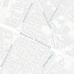
IMD crime decile 4/10 · 66 crimes in 400m last month (residential-weighted: 44.6)
Crimes reported last month · UK Police API
Healthcare70/100
49GP & hospitals
IMD health decile 1/10 · 46 GP, 3 hospitals, 22 dentists, pharmacy 0.2 mi within 1.5 mi
Nearest GP: ATTWOOD GREEN HEALTH UNIT — 0.2 mi
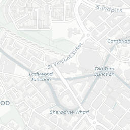
Transport82/100
Birmingham New Street Rail Station0.4 mi
Five Ways Rail Station0.4 mi
Grand Central (West Midlands Metro)0.5 mi
Town Hall (West Midlands Metro)0.5 mi
43 bus stops also within 0.5 miles
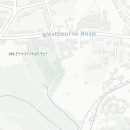
Green space53/100
15green spaces
IMD environment decile 3/10 · 5.6 ha total — no proper park nearby
Nearest: Playground (800 m²) — 0.0 mi
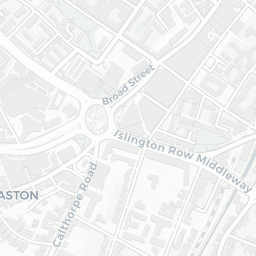
Amenities90/100
59supermarkets
59 supermarkets within 2 mi — Budgens, Morrisons, Tesco, The Co-operative Group… — nearest 0.1 mi — library 0.6 mi
Nearest: Budgens Of Kent Street — 0.1 mi
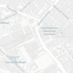
02 — Environment
Environment & risk near B15 2AU.
Official risk flags for context — deliberately not part of the NestScope score (they’re categorical hazards, not amenities).
Flood risk
Zone 1 (low)
Flood Zone 1 — low risk (less than 1 in 1,000 annual chance) · Source: Environment Agency Flood Map for Planning
▼
Zone 1
Zone 2
Zone 3
Air qualityModerate
22.3µg/m³
NO₂ annual mean · WHO guideline 10 · UK limit 40 · Source: DEFRA UK-AIR 2024
▼
<10
10–20
20–30
30–40
≥40
Road noiseQuiet
54dB Lden
Road traffic, day-evening-night average · Source: DEFRA strategic noise mapping
▼
<55
55–64
65–74
≥75
03 — House prices
Sold prices in B15.
Average sold price by property type across the B15 district, 2021–2026 — 1,356 sales.
Detached
Semi-detached
Terraced
Flat
Detached£770k▼ 27.2%
Semi-detached£692k▲ 20.6%
Terraced£357k▲ 0.4%
Flat£160k▼ 38.6%
District-level averages (B15) — broad enough to show a reliable trend. A single postcode usually sees too few sales to chart. Source: HM Land Registry Price Paid Data (Crown Copyright / OGL v3.0).
About B15 2AU
B15 2AU scores 56/100 on the NestScope Score, with its strongest showing in local amenities and transport — with Budgens Of Kent Street about 3 minutes' walk away. The breakdown below draws on official UK data covering schools, safety, healthcare, transport, environment and local amenities.